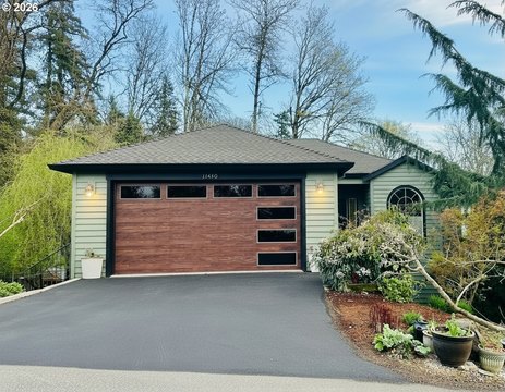
Custer Dr Portland, OR 97219
Property profile & analytics
Custer Dr, Portland, OR 97219
- Office buildings
- 0.45 lot acres
Property ID
US71-1483600
The Realmo ID is a unique identifier assigned to every property, incorporating country codes and precise geo-coordinates for 300x300-foot land blocks. It enables standardized data collection and seamless integration of disparate sources such as ownership, tax, title data and physical specifications. By aggregating current and historical records, the Realmo ID powers advanced analytics and delivers deep, verifiable insights for real estate professionals.
Location Intelligence
Current Use by Public Records
- Office buildings
Property Details for Custer Dr
- Year built
- 1963
- Lot size
- 0.45 lot acres
- Zone code
- CG
- Property type
- Office buildings
- APN
- 1S1E21BD 04800
- APU
- 1S1E21BD04800
Sales History
| Date | Price | Buyer | Seller | Deed Type | Mortgage |
|---|---|---|---|---|---|
| Feb 23, 2017 | — | Merlo Station LLC | — | Grant Deed · related | $2.2M · Miscellaneous Ins Co |
| Mar 18, 2002 | — | Custer Property LLC | Merlo Station LLC | Grant Deed | $2.2M · Stancorp Mortgage Investors |
| Oct 1, 2001 | — | Nickelsen Trust | — | Grant Deed · related | $1.7M · Bank Of The Northwest |
Value Estimations
based on Realmo’s proprietary methodology
-
AI approach
-
CAP approach
-
Comparable approach
-
Alternative Use
Get a detailed, property-specific estimation — fast and free
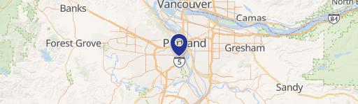
Location Insight
- Map
- Local Demand
- City
- Portland
- County
- Multnomah
- State
- Oregon
- Longitude
- -122.693
- Latitude
- 45.4696
- CBSA code
- 38900
- CBSA name
- PORTLAND-VANCOUVER-BEAVERTON, OR-WA METROPOLITAN STATISTICAL AREA
Property Tax & Assessments
Tax date
Tax Amount
Assessed Land Value
Assessed Improvement Value
Total Assessed Value
Applied Tax Rate
Land Market Value
Improvement Market Value
Total Market Value
2023
$7,466
$0.00
$0.00
$282,030
-
$1,181,580
$0.00
$1,181,580