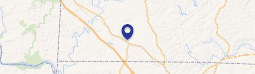
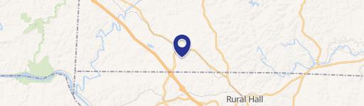
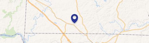
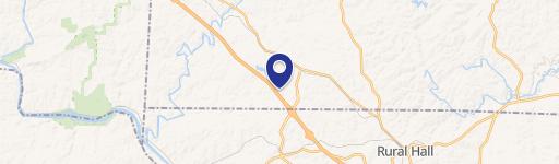
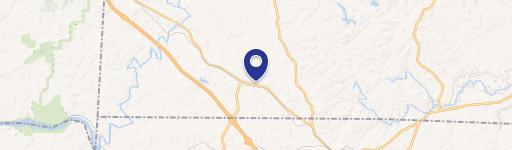
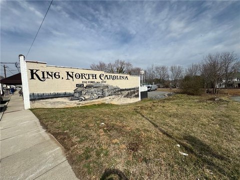
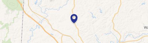
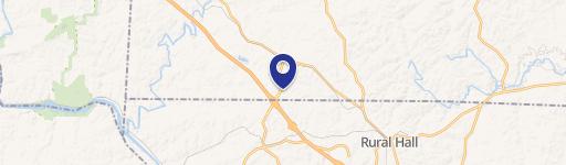
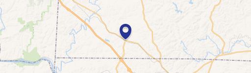
Chestnut Grv Rd King, NC 27021
Property profile & analytics
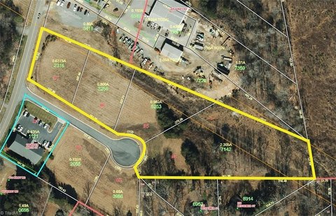
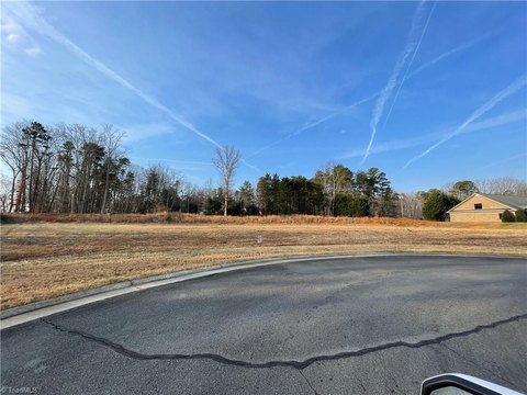
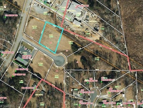
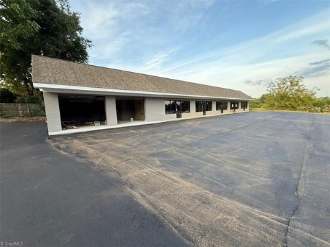
Chestnut Grv Rd, King, NC 27021
- Commercial land
- 126.47 lot acres
Property ID
US53-3569922
The Realmo ID is a unique identifier assigned to every property, incorporating country codes and precise geo-coordinates for 300x300-foot land blocks. It enables standardized data collection and seamless integration of disparate sources such as ownership, tax, title data and physical specifications. By aggregating current and historical records, the Realmo ID powers advanced analytics and delivers deep, verifiable insights for real estate professionals.
Location Intelligence
Current Use by Public Records
- Wildlife Recreations Taxidermy / Taxidermist
- Danny Cain / Housing Complex
- Old Time Baptist Church / Church
- Yadkin Valley Head Start / High School / Daycare Center
- Mount Olive Elementary School / High School
Property Details for Chestnut Grv Rd
- Lot size
- 126.47 lot acres
- Zone code
- R-A
- Property type
- Commercial land
- APN
- 599302574277
- APU
- 599302574277
Value Estimations
based on Realmo’s proprietary methodology
-
AI approach
-
CAP approach
-
Comparable approach
-
Alternative Use
Get a detailed, property-specific estimation — fast and free
Location Insight
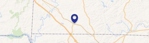
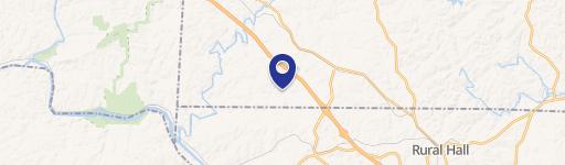
- Map
- Local Demand
- City
- King
- County
- Stokes
- State
- North Carolina
- Longitude
- -80.3745
- Latitude
- 36.3168
- CBSA code
- 49180
- CBSA name
- WINSTON-SALEM, NC METROPOLITAN STATISTICAL AREA
Property Tax & Assessments
Tax date
Tax Amount
Assessed Land Value
Assessed Improvement Value
Total Assessed Value
Applied Tax Rate
Land Market Value
Improvement Market Value
Total Market Value
2024
$0.00
$1,618,800
$0.00
$1,618,800
-
$1,618,800
$0.00
$1,618,800