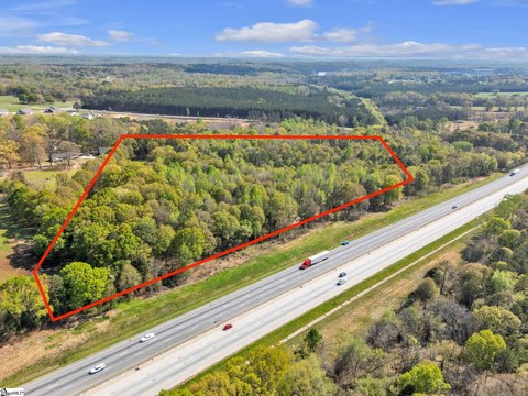
Alliance Pkwy Williamston, SC 29697
Property profile & analytics
Alliance Pkwy, Williamston, SC 29697
- Residential income homes
- 46,659 SF
- 2.00 lot acres
Property ID
US77-2105418
The Realmo ID is a unique identifier assigned to every property, incorporating country codes and precise geo-coordinates for 300x300-foot land blocks. It enables standardized data collection and seamless integration of disparate sources such as ownership, tax, title data and physical specifications. By aggregating current and historical records, the Realmo ID powers advanced analytics and delivers deep, verifiable insights for real estate professionals.
Location Intelligence
Current Use by Public Records
- Residential income homes
Property Details for Alliance Pkwy
- Year built
- 2010
- Lot size
- 2.00 lot acres
- Property type
- Residential income homes
- Property subtype
- Serviced apartments
- APN
- 169-00-13-041
- APU
- 1690013041
Sales History
| Date | Price | Buyer | Seller | Deed Type | Mortgage |
|---|---|---|---|---|---|
| Jul 3, 2023 | — | Ress Investment LLC | — | Deed · related | $4.5M · South State Bank NA |
| Sep 12, 2016 | — | Ress Investment LLC | — | Deed · related | $5.3M · Asheville Svgs Bk |
| Oct 31, 2008 | — | Ress Investment LLC | — | Trustees Deed · related | $4.5M · Greer State Bank |
| Nov 1, 2006 | $370,000 | Ress Investment LLC | Anderson Area Ymca INC | Grant Deed | — |
| — | — | Ress Investment LLC | — | Deed Of Trust · related | $5.3M · Asheville Svgs Bk |
Value Estimations
based on Realmo’s proprietary methodology
-
AI approach
- Method
- Estimation
- ML approach
- $730,000
-
Alternative Use
- Use
- Estimation
- INDUSTRIAL (GENERAL)
- $1,095,000
Get a detailed, property-specific estimation — fast and free
Location Insight
- Map
- Local Demand
- City
- Williamston
- County
- Anderson
- State
- South Carolina
- Longitude
- -82.5996
- Latitude
- 34.6289
- CBSA code
- 24860
- CBSA name
- GREENVILLE-ANDERSON, SC METROPOLITAN STATISTICAL AREA
Property Tax & Assessments
Tax date
Tax Amount
Assessed Land Value
Assessed Improvement Value
Total Assessed Value
Applied Tax Rate
Land Market Value
Improvement Market Value
Total Market Value
2023
$66,416
$21,600
$308,840
$330,440
-
$0.00
$0.00
$5,507,407