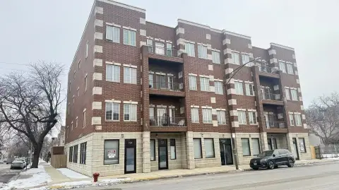
970 Pershing Rd Chicago, IL 60609-1424
Property profile & analytics
970 Pershing Rd Chicago, IL 60609-1424
- Retail space
- 1,400 SF
- 2.58 lot acres
Property ID
US28-1122032
The Realmo ID is a unique identifier assigned to every property, incorporating country codes and precise geo-coordinates for 300x300-foot land blocks. It enables standardized data collection and seamless integration of disparate sources such as ownership, tax, title data and physical specifications. By aggregating current and historical records, the Realmo ID powers advanced analytics and delivers deep, verifiable insights for real estate professionals.
Location Intelligence
Current Use by Public Records
- bp / Gas Station
- Dunkin' / (Bike/Boat/Book/etc) Store / Bakery
- United Freight Consolidating / Trucking Company
- FedEx Drop Box / Postal Service / Courier Service
- Public scale / Factory / Industrial Manufacturer
Property Details for 970 Pershing Rd
- Year built
- 1951
- Lot size
- 2.58 lot acres
- Property size
- 1,400 SF
- Property type
- Retail space
- APN
- 17-32-420-002
- APU
- 1732420002
Value Estimations
based on Realmo’s proprietary methodology
-
AI approach
-
CAP approach
-
Comparable approach
-
Alternative Use
Get a detailed, property-specific estimation — fast and free
Location Insight
- Map
- Local Demand
- City
- Chicago
- County
- Cook
- State
- Illinois
- Longitude
- -87.65
- Latitude
- 41.824
- CBSA code
- 16980
- CBSA name
- CHICAGO-NAPERVILLE-JOLIET, IL-IN-WI METROPOLITAN STATISTICAL AREA
Property Tax & Assessments
Tax date
Tax Amount
Assessed Land Value
Assessed Improvement Value
Total Assessed Value
Applied Tax Rate
Land Market Value
Improvement Market Value
Total Market Value
2022
$106,816
$280,500
$201,550
$482,050
-
$1,122,000
$806,200
$1,928,200