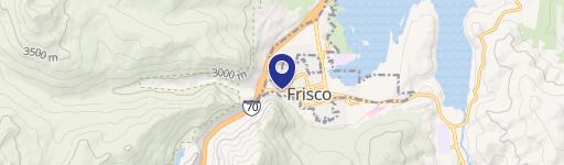
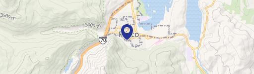
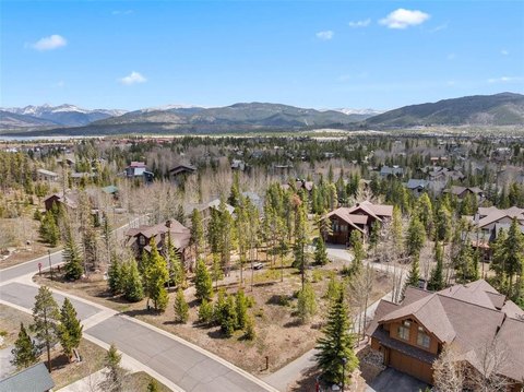
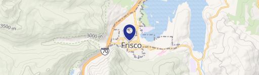
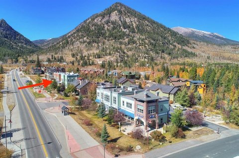
970 10th Mile Dr Frisco, CO 80443
Property profile & analytics
970 10th Mile Dr, Frisco, CO 80443
- Commercial land
- 1.15 lot acres
Property ID
US13-1781361
The Realmo ID is a unique identifier assigned to every property, incorporating country codes and precise geo-coordinates for 300x300-foot land blocks. It enables standardized data collection and seamless integration of disparate sources such as ownership, tax, title data and physical specifications. By aggregating current and historical records, the Realmo ID powers advanced analytics and delivers deep, verifiable insights for real estate professionals.
Location Intelligence
Current Use by Public Records
- Commercial land
Property Details for 970 10th Mile Dr
- Lot size
- 1.15 lot acres
- Zone code
- FPUD
- Property type
- Commercial land
- APN
- 6504457
- APU
- 6504457
Sales History
| Date | Price | Buyer | Seller | Deed Type | Mortgage |
|---|---|---|---|---|---|
| Apr 15, 2025 | — | Oak Forest I Investments LLC | Palm Springs Shadows Limited Partne | Special Warranty Deed | — |
| Oct 7, 2016 | $7,197,000 | Palm Springs Shadow LP | Frisco Re I LLC | Special Warranty Deed | — |
Value Estimations
based on Realmo’s proprietary methodology
-
AI approach
-
CAP approach
-
Comparable approach
-
Alternative Use
Get a detailed, property-specific estimation — fast and free
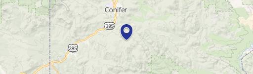
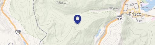
Location Insight
- Map
- Local Demand
- City
- Frisco
- County
- Summit
- State
- Colorado
- Longitude
- -106.104
- Latitude
- 39.5752
- CBSA code
- 14720
- CBSA name
- BRECKENRIDGE, CO MICROPOLITAN STATISTICAL AREA
Property Tax & Assessments
Tax date
Tax Amount
Assessed Land Value
Assessed Improvement Value
Total Assessed Value
Applied Tax Rate
Land Market Value
Improvement Market Value
Total Market Value
2015
$0.00
$0.00
$0.00
$308,067
-
$1,062,302
$0.00
$1,062,302