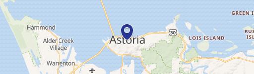
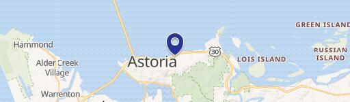
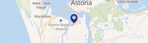
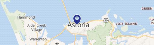
92621 Wireless Rd Astoria, OR 97103-8191
Property profile & analytics
92621 Wireless Rd Astoria, OR 97103-8191
- Commercial real estate
- 0.66 lot acres
Property ID
US71-1091465
The Realmo ID is a unique identifier assigned to every property, incorporating country codes and precise geo-coordinates for 300x300-foot land blocks. It enables standardized data collection and seamless integration of disparate sources such as ownership, tax, title data and physical specifications. By aggregating current and historical records, the Realmo ID powers advanced analytics and delivers deep, verifiable insights for real estate professionals.
Location Intelligence
Current Use by Public Records
- Commercial real estate
Property Details for 92621 Wireless Rd
- Year built
- 2002
- Lot size
- 0.66 lot acres
- Property type
- Commercial real estate
- APN
- 80920BC00900
- APU
- 80920BC00900
Description
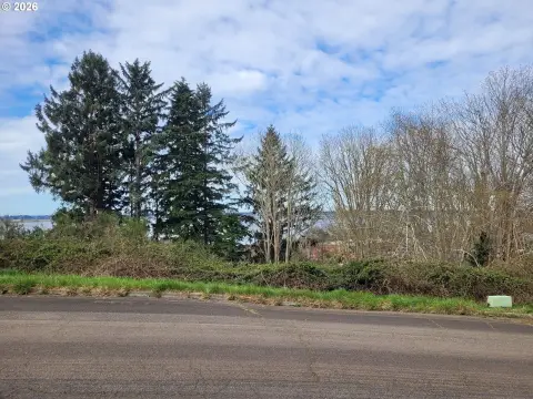
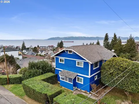
This exceptional 61,899 square foot parcel, located at 92621 Wireless Road in Astoria, Oregon (zip code 97103), presents a unique residential development opportunity. Currently zoned RCR (Rural Community Residential), this land offers the potential for subdivision into two separate lots, subject to buyer's due diligence and local permitting processes. The property boasts stunning views of the natural surroundings, providing a tranquil setting while remaining conveniently close to Astoria's amenities. Situated near the Youngs River dike, the location offers a blend of rural serenity and urban accessibility. The asking price for this expansive lot is $115,000. Prospective buyers are encouraged to conduct thorough due diligence to verify all zoning regulations and development possibilities. This is a remarkable chance to build a dream home or create multiple residential opportunities in a desirable location. Please note that the potential for splitting the lot is subject to local regulations and approvals. All information provided is deemed reliable but not guaranteed.
Value Estimations
based on Realmo’s proprietary methodology
-
AI approach
-
CAP approach
-
Comparable approach
-
Alternative Use
Get a detailed, property-specific estimation — fast and free
Location Insight
- Map
- Local Demand
- City
- Astoria
- County
- Clatsop
- State
- Oregon
- Longitude
- -123.834
- Latitude
- 46.1623
- CBSA code
- 11820
- CBSA name
- ASTORIA, OR MICROPOLITAN STATISTICAL AREA
Property Tax & Assessments
Tax date
Tax Amount
Assessed Land Value
Assessed Improvement Value
Total Assessed Value
Applied Tax Rate
Land Market Value
Improvement Market Value
Total Market Value
2023
$180
$0.00
$0.00
$9,799
-
$132,247
$39,328
$171,575