9201 Edison Hwy Bakersfield, CA 93307
Property profile & analytics
9201 Edison Hwy Bakersfield, CA 93307
- Industrial land
- 11.36 lot acres

Property ID
US09-1658307
The Realmo ID is a unique identifier assigned to every property, incorporating country codes and precise geo-coordinates for 300x300-foot land blocks. It enables standardized data collection and seamless integration of disparate sources such as ownership, tax, title data and physical specifications. By aggregating current and historical records, the Realmo ID powers advanced analytics and delivers deep, verifiable insights for real estate professionals.
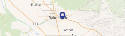
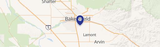
Location Intelligence
Current Use by Public Records
- Industrial land
Property Details for 9201 Edison Hwy
- Construction
- WOOD FRAME
- Lot size
- 11.36 lot acres
- Property type
- Industrial land
- APN
- 388-160-11-00-6
- APU
- 38816011006
Description
This exceptional 11.36-acre industrial land parcel presents a unique investment opportunity in Bakersfield, California. Located at 9201 Edison Highway, the property boasts convenient access to Highway 58, providing easy east and westbound travel. Its proximity to Weedpatch Highway/Highway 184 further enhances its strategic location. The site benefits from its close proximity to essential amenities, including a gas station, restaurants, and other hospitality businesses. The property is zoned M-2 PD, offering flexibility for various industrial uses. The Assessor's Parcel Number (APN) is 388-160-11. Utilities are readily available, with electricity and gas provided by PG&E. Water and sewer services are provided by the East Niles Water District
Value Estimations
based on Realmo’s proprietary methodology
-
AI approach
-
CAP approach
-
Comparable approach
-
Alternative Use
Get a detailed, property-specific estimation — fast and free
Location Insight
- Map
- Local Demand
- City
- Bakersfield
- County
- Kern
- State
- California
- Longitude
- -118.903
- Latitude
- 35.355
- CBSA code
- 12540
- CBSA name
- BAKERSFIELD, CA METROPOLITAN STATISTICAL AREA
Property Tax & Assessments
Tax date
Tax Amount
Assessed Land Value
Assessed Improvement Value
Total Assessed Value
Applied Tax Rate
Land Market Value
Improvement Market Value
Total Market Value
2023
$9,112
$635,375
$0.00
$635,375
-
$0.00
$0.00
$0.00