
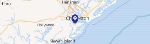
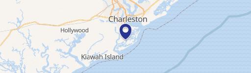
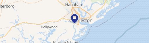
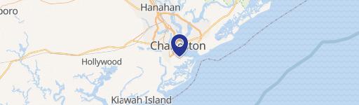
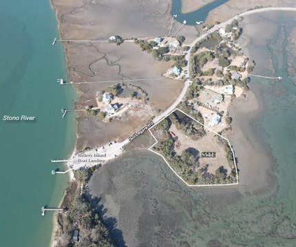
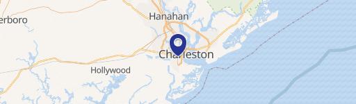
889 Folly Rd, Charleston, SC 29412-3454
This exceptional 1.7 million dollar commercial land parcel presents a rare development opportunity in the thriving heart of James Island, Charleston, South Carolina. Located at 889 Folly Road, near the Camp Road intersection, this build-ready lot boasts high visibility and significant traffic flow, making it ideal for a variety of commercial uses. The property is zoned for commercial development, including QSR/Fast Food and shopping center uses. Importantly, all necessary architectural drawings and permits are already secured, significantly streamlining the development process. A key advantage is the pre-approved special exemption for a drive-thru, a highly desirable feature for many fast-food and quick-service restaurants. This significantly reduces development hurdles and accelerates the timeline to opening. The property's prime location on Folly Road in Charleston County, SC, zip code 29412 (latitude 32.7350425, longitude -79.9687319), ensures strong potential for high returns on investment. This is a turnkey opportunity for developers seeking a fast-track project with minimal upfront planning and permitting delays. Don't miss this chance to capitalize on the burgeoning commercial landscape of James Island. Contact us today to learn more about this exceptional property and begin planning your next venture.
Cap rate
Implied · in-place · derived from last sale + estimated NOIValue
AI, CAP & Alternative Use estimations · Realmo proprietary blendProperty tax & assessments
Tax year 2023Comparables
6 recent transactions · within 1.5 miComparable in this City


Similar Nearby for Sale

Similar Nearby for Lease


Property description
Physical attributes from public recordsZoning & alternative use
Costs & Benchmarks
Operating expenses, capex projections, utility benchmarks, and submarket comparables — all in one view.
Risks
Flood, climate, environmental, title, and tenant-concentration risk — surfaced with mitigations and source citations.


