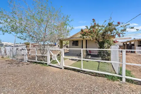
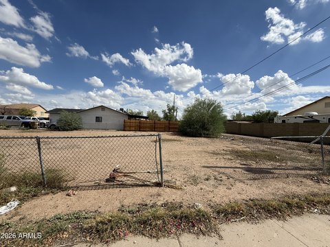
8637 N 77Th Dr Peoria, AZ 85345
Property profile & analytics
8637 N 77Th Dr, Peoria, AZ 85345
- Industrial land
- 0.78 lot acres

Property ID
US07-1146902
The Realmo ID is a unique identifier assigned to every property, incorporating country codes and precise geo-coordinates for 300x300-foot land blocks. It enables standardized data collection and seamless integration of disparate sources such as ownership, tax, title data and physical specifications. By aggregating current and historical records, the Realmo ID powers advanced analytics and delivers deep, verifiable insights for real estate professionals.
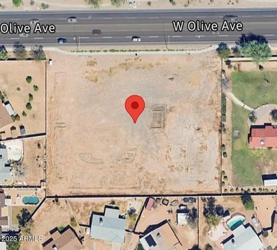
Location Intelligence
Current Use by Public Records
- Industrial land
Property Details for 8637 N 77Th Dr
- Lot size
- 0.78 lot acres
- Zone code
- I-1
- Property type
- Industrial land
- APN
- 142-20-117
- APU
- 14220117
Sales History
| Date | Price | Buyer | Seller | Deed Type | Mortgage |
|---|---|---|---|---|---|
| Jan 12, 2026 | $1,500,000 | Kbb Steel LLC | Caretaker West Peoria Parcel LLC | Special Warranty Deed | $1.1M · Wafd INC |
| Dec 8, 2022 | $850,000 | Caretaker West Peoria Parcel LLC | Greenway Property LLC | Special Warranty Deed | $859k · Umb Bank NA |
| Dec 22, 2014 | — | Greenway Property LLC | Greenway Property | Quit Claim Deed | — |
| Jun 6, 1990 | $73,273 | Shuart Wayne K | Dayspring Invest | Grant Deed | — |
| Jun 6, 1990 | $87,500 | Greenway Propert | Moyer | Trustees Deed | — |
| Jun 6, 1990 | — | Dayspring Invest | — | Trustees Deed · related | — |
| Jan 12, 1989 | — | Arizona Bank The | Unknown | Grant Deed · related | — |
Value Estimations
based on Realmo’s proprietary methodology
-
AI approach
- Method
- Estimation
- Statistic approach
- $565,000
Get a detailed, property-specific estimation — fast and free
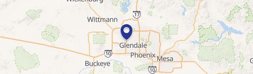
Location Insight
- Map
- Local Demand
- City
- Peoria
- County
- Maricopa
- State
- Arizona
- Longitude
- -112.225
- Latitude
- 33.5616
- CBSA code
- 38060
- CBSA name
- PHOENIX-MESA-SCOTTSDALE, AZ METROPOLITAN STATISTICAL AREA
Property Tax & Assessments
Tax date
Tax Amount
Assessed Land Value
Assessed Improvement Value
Total Assessed Value
Applied Tax Rate
Land Market Value
Improvement Market Value
Total Market Value
2023
$2,001
$0.00
$0.00
$40,545
-
$270,300
$0.00
$270,300