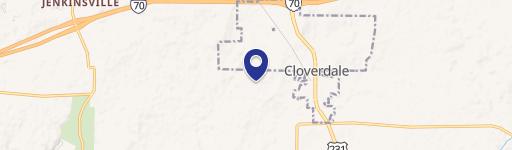
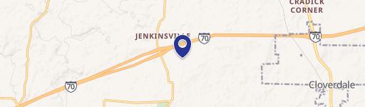
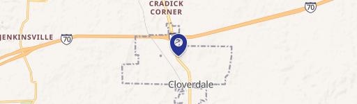
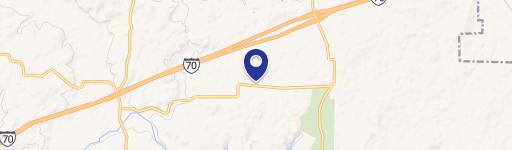
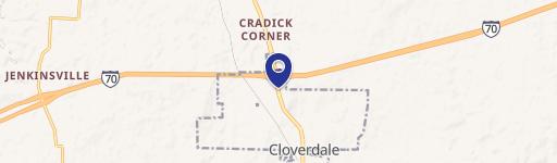
8090 State Rd 243 Cloverdale, IN 46120-9692
Property profile & analytics
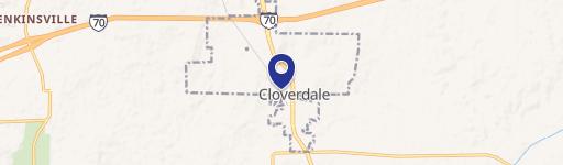
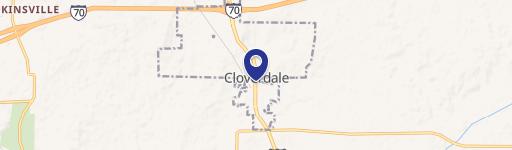
8090 State Rd 243, Cloverdale, IN 46120-9692
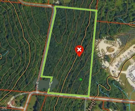
- Mining land & claims
- 45,000 SF
- 8.87 lot acres
Property ID
US31-3205343
The Realmo ID is a unique identifier assigned to every property, incorporating country codes and precise geo-coordinates for 300x300-foot land blocks. It enables standardized data collection and seamless integration of disparate sources such as ownership, tax, title data and physical specifications. By aggregating current and historical records, the Realmo ID powers advanced analytics and delivers deep, verifiable insights for real estate professionals.
Location Intelligence
Current Use by Public Records
- Mining land & claims
Property Details for 8090 State Rd 243
- Year built
- 2010
- Construction
- WOOD
- Lot size
- 8.87 lot acres
- Zone code
- ZO01
- Property type
- Mining land & claims
- APN
- 67-12-29-100-002.001-017
- APU
- 671229100002001017
Sales History
| Date | Price | Buyer | Seller | Deed Type | Mortgage |
|---|---|---|---|---|---|
| — | — | Nalc LLC | — | Deed Of Trust · related | $367k · Premier Cap |
| — | — | Eric Hayman | — | Deed Of Trust · related | $860k · First Nat'l Bk |
Value Estimations
based on Realmo’s proprietary methodology
-
AI approach
- Method
- Estimation
- ML approach
- $530,000
Get a detailed, property-specific estimation — fast and free
Location Insight
- Map
- Local Demand
- City
- Cloverdale
- County
- Putnam
- State
- Indiana
- Longitude
- -86.8767
- Latitude
- 39.5441
- CBSA code
- 26900
- CBSA name
- INDIANAPOLIS-CARMEL-ANDERSON, IN METROPOLITAN STATISTICAL AREA
Property Tax & Assessments
Tax date
Tax Amount
Assessed Land Value
Assessed Improvement Value
Total Assessed Value
Applied Tax Rate
Land Market Value
Improvement Market Value
Total Market Value
2023
$10,692
$62,400
$527,200
$589,600
-
$62,400
$527,200
$589,600