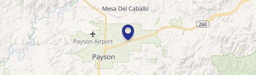
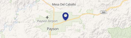
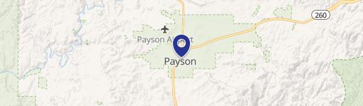
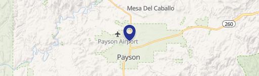
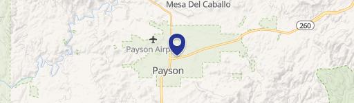
804 State Hwy 260 Payson, AZ 85541-4939
Property profile & analytics
804 State Hwy 260, Payson, AZ 85541-4939
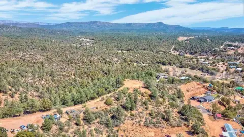
- Commercial land
- 0.84 lot acres
Property ID
US07-1099037
The Realmo ID is a unique identifier assigned to every property, incorporating country codes and precise geo-coordinates for 300x300-foot land blocks. It enables standardized data collection and seamless integration of disparate sources such as ownership, tax, title data and physical specifications. By aggregating current and historical records, the Realmo ID powers advanced analytics and delivers deep, verifiable insights for real estate professionals.
Location Intelligence
Current Use by Public Records
- Commercial land
Property Details for 804 State Hwy 260
- Lot size
- 0.84 lot acres
- Property type
- Commercial land
- APN
- 304-07-020A
- APU
- 30407020A
Sales History
| Date | Price | Buyer | Seller | Deed Type | Mortgage |
|---|---|---|---|---|---|
| Jul 25, 2018 | $175,000 | Schlotman Fam Holding Co LLC | Day,robert E & Angela M | Grant Deed | — |
| May 1, 2018 | $150,000 | Robert E Day | Pineda Reo LLC | Grant Deed | — |
| Oct 21, 2013 | $130,000 | Pineda Reo LLC | Pack Bradley D | Trustees Deed · related | — |
| Oct 7, 2010 | — | Lanny Floyd | Floyd Family Trust | Quit Claim Deed · related | $1.1M · Compass Bank |
Value Estimations
based on Realmo’s proprietary methodology
-
AI approach
-
CAP approach
-
Comparable approach
-
Alternative Use
Get a detailed, property-specific estimation — fast and free
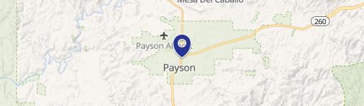
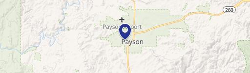
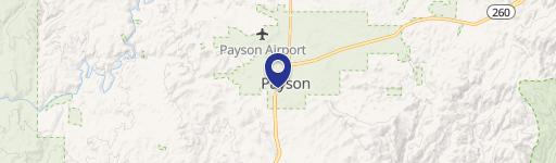
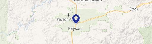
Location Insight
- Map
- Local Demand
- City
- Payson
- County
- Gila
- State
- Arizona
- Longitude
- -111.311
- Latitude
- 34.2425
- CBSA code
- 37740
- CBSA name
- PAYSON, AZ MICROPOLITAN STATISTICAL AREA
Property Tax & Assessments
Tax date
Tax Amount
Assessed Land Value
Assessed Improvement Value
Total Assessed Value
Applied Tax Rate
Land Market Value
Improvement Market Value
Total Market Value
2023
$4,239
$11,961
$11,961
$23,922
-
$79,741
$79,741
$159,482