Property profile & analytics
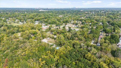
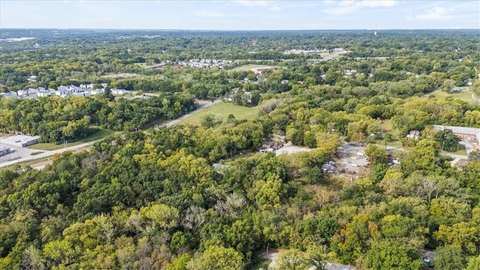
8028 Chestnut Ave Kansas City, MO 64132
- Commercial real estate
- 0.33 lot acres
OFF-MARKET
Value Estimations
Cap Rate Potential
Location Intelligence
Property ID
US48-0403144
The Realmo ID is a unique identifier assigned to every property, incorporating country codes and precise geo-coordinates for 300x300-foot land blocks. It enables standardized data collection and seamless integration of disparate sources such as ownership, tax, title data and physical specifications. By aggregating current and historical records, the Realmo ID powers advanced analytics and delivers deep, verifiable insights for real estate professionals.
Current Use by Public Records
- Commercial real estate
Property Details for 8028 Chestnut Ave
- Lot size
- 0.33 lot acres
- Property type
- Commercial real estate
Description
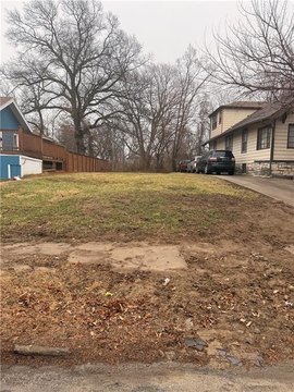
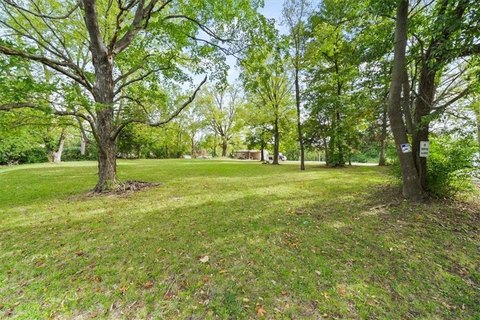
This exceptional 0.33-acre residential land lot presents a fantastic opportunity in Kansas City, Missouri. Located at 8028 Chestnut Avenue, in the 64132 zip code within Jackson County, this property offers a blank canvas for creating your ideal home. The lot's prime location provides easy access to a variety of amenities, including nearby schools, parks, and shopping centers, ensuring a convenient and desirable lifestyle. Priced affordably at $15,000, this land parcel represents a smart investment with significant potential for future appreciation. The property's size and location make it an attractive option for those seeking to build a new residence in a well-established and convenient neighborhood. With its relatively flat terrain (further site investigation recommended), this lot is well-suited for residential construction. Don't miss this chance to secure a piece of Kansas City real estate and begin building your future. The geographic coordinates are 38.980338 latitude and -94.5557989 longitude. This is a residential land sale
Value Estimations
based on Realmo’s proprietary methodology
-
AI approach
-
CAP approach
-
Comparable approach
-
Alternative Use
Get a detailed, property-specific valuation — fast and free
Location Insight
- Map
- Local Demand
- City
- Kansas City
- County
- Jackson
- State
- Missouri
- Longitude
- -94.5557989
- Latitude
- 38.980338