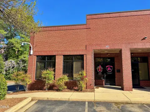
80 Rupert Rd Raleigh, NC 27603-3629
Property profile & analytics
80 Rupert Rd Raleigh, NC 27603-3629
- Warehouses
- 9,600 SF
- 1.40 lot acres
Property ID
US53-1218047
The Realmo ID is a unique identifier assigned to every property, incorporating country codes and precise geo-coordinates for 300x300-foot land blocks. It enables standardized data collection and seamless integration of disparate sources such as ownership, tax, title data and physical specifications. By aggregating current and historical records, the Realmo ID powers advanced analytics and delivers deep, verifiable insights for real estate professionals.
Location Intelligence
Current Use by Public Records
- Allied Fire Protection Inc / General Contractor / Security Service
Property Details for 80 Rupert Rd
- Year built
- 1990
- Construction
- METAL FRAME
- Lot size
- 1.40 lot acres
- Property size
- 9,600 SF
- Zone code
- LI
- Property type
- Warehouses
- APN
- 0791.02-96-5305 0156371
- APU
- 791029653050156371
Value Estimations
based on Realmo’s proprietary methodology
-
Comparable approach
- Method
- Estimation
- Statistic Estimate
- $1,099,000
Market price range: $1.10M - $2.62M
Get a detailed, property-specific estimation — fast and free
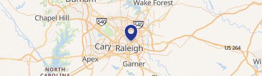
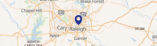
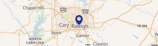
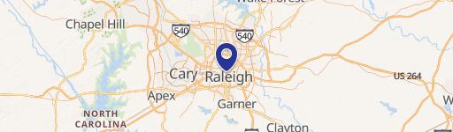
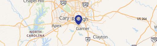
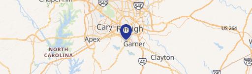
Location Insight
- Map
- Local Demand
- City
- Raleigh
- County
- Wake
- State
- North Carolina
- Longitude
- -78.6648
- Latitude
- 35.7178
- CBSA code
- 39580
- CBSA name
- RALEIGH-CARY, NC METROPOLITAN STATISTICAL AREA
Property Tax & Assessments
Tax date
Tax Amount
Assessed Land Value
Assessed Improvement Value
Total Assessed Value
Applied Tax Rate
Land Market Value
Improvement Market Value
Total Market Value
2023
$4,738
$182,952
$424,762
$607,714
-
$182,952
$424,762
$607,714