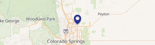
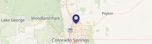
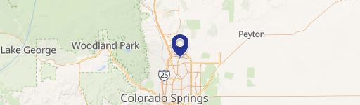
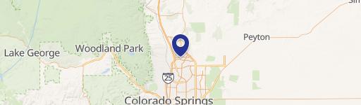
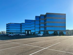
7710 Durant Dr Colorado Springs, CO 80920-7406
Property Lookup
Property profile & analytics
7710 Durant Dr Colorado Springs, CO 80920-7406
- Distribution centers
- 40,072 SF
- 4.97 lot acres
Property ID
US13-1383958
The Realmo ID is a unique identifier assigned to every property, incorporating country codes and precise geo-coordinates for 300x300-foot land blocks. It enables standardized data collection and seamless integration of disparate sources such as ownership, tax, title data and physical specifications. By aggregating current and historical records, the Realmo ID powers advanced analytics and delivers deep, verifiable insights for real estate professionals.
Location Intelligence
Current Use by Public Records
- CO SPGS Utilities CNG Station / General Contractor
Property Details for 7710 Durant Dr
- Year built
- 1993
- Construction
- MASONRY/CONCRETE MASONRY UNITS (CMUS)
- Lot size
- 4.97 lot acres
- Property size
- 40,072 SF
- Zone code
- PF AO SS
- Property type
- Distribution centers
- APN
- 6301401007
- APU
- 6301401007
Value Estimations
based on Realmo’s proprietary methodology
-
CAP approach
- CAP Return
- Estimation
- 6%
- $5,990,000
- 6.5%
- $5,530,000
- 7%
- $5,135,000
-
Comparable approach
- Method
- Estimation
- Statistic Estimate
- $4,795,000
- AI Estimate
- $3,192,000
Market price range: $4.80M - $10.1MMarket price range: $1.04M - $7.43M -
Alternative Use
- Use
- Estimation
- WAREHOUSE, STORAGE
- $6,590,000 Current use
Get a detailed, property-specific estimation — fast and free
Location Insight
- Map
- Local Demand
- City
- Colorado Springs
- County
- El Paso
- State
- Colorado
- Longitude
- -104.728
- Latitude
- 38.9431
- CBSA code
- 17820
- CBSA name
- COLORADO SPRINGS, CO METROPOLITAN STATISTICAL AREA
Property Tax & Assessments
Tax date
Tax Amount
Assessed Land Value
Assessed Improvement Value
Total Assessed Value
Applied Tax Rate
Land Market Value
Improvement Market Value
Total Market Value
2023
$0.00
$311,070
$691,430
$1,002,500
-
$1,114,939
$2,478,247
$3,593,186