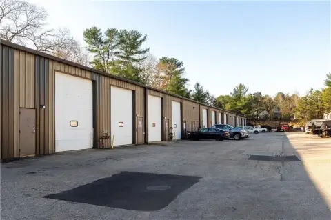
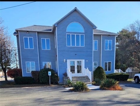
75 Airport Rd Coventry, RI 02816-6553
Property profile & analytics
75 Airport Rd Coventry, RI 02816-6553
- Industrial properties
- 7.50 lot acres
Property ID
US76-0235052
The Realmo ID is a unique identifier assigned to every property, incorporating country codes and precise geo-coordinates for 300x300-foot land blocks. It enables standardized data collection and seamless integration of disparate sources such as ownership, tax, title data and physical specifications. By aggregating current and historical records, the Realmo ID powers advanced analytics and delivers deep, verifiable insights for real estate professionals.
Location Intelligence
Current Use by Public Records
- Consolidated Concrete / High School
- Pasteryak Asphalt LLC / General Contractor / Construction Company
Property Details for 75 Airport Rd
- Lot size
- 7.50 lot acres
- Zone code
- 2000
- Property type
- Industrial properties
- APN
- COVE M:52 L:62-002-001A
- APU
- COVEM52L62002001A
Value Estimations
based on Realmo’s proprietary methodology
-
AI approach
-
CAP approach
-
Comparable approach
-
Alternative Use
Get a detailed, property-specific estimation — fast and free
Location Insight
- Map
- Local Demand
- City
- Coventry
- County
- Kent
- State
- Rhode Island
- Longitude
- -71.582
- Latitude
- 41.691
- CBSA code
- 39300
- CBSA name
- PROVIDENCE-NEW BEDFORD-FALL RIVER, RI-MA METROPOLITAN STATISTICAL AREA
Property Tax & Assessments
Tax date
Tax Amount
Assessed Land Value
Assessed Improvement Value
Total Assessed Value
Applied Tax Rate
Land Market Value
Improvement Market Value
Total Market Value
2020
$13,987
$396,000
$235,000
$631,000
-
$0.00
$0.00
$0.00