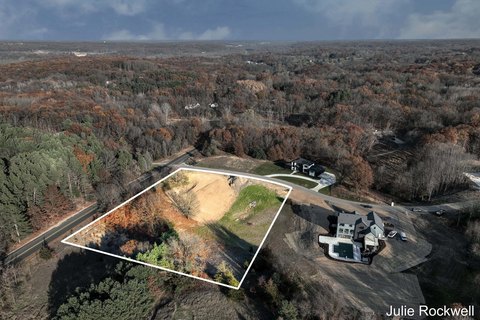
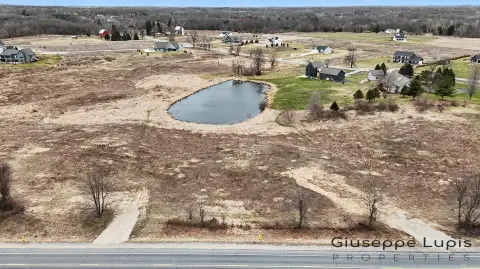
Property profile & analytics
7490 Thornapple Riv SE Dr Ada, MI 49301
- Commercial real estate
- 378 SF
- 2.49 lot acres
OFF-MARKET
Value Estimations
Cap Rate Potential
Location Intelligence
Property ID
US43-1551806
The Realmo ID is a unique identifier assigned to every property, incorporating country codes and precise geo-coordinates for 300x300-foot land blocks. It enables standardized data collection and seamless integration of disparate sources such as ownership, tax, title data and physical specifications. By aggregating current and historical records, the Realmo ID powers advanced analytics and delivers deep, verifiable insights for real estate professionals.
Current Use by Public Records
- Baseball Field / Sports Field & Court / Sports School
- Leonard Park / Tourist Attraction / Park
- Ada Covered Bridge / Tour Operator
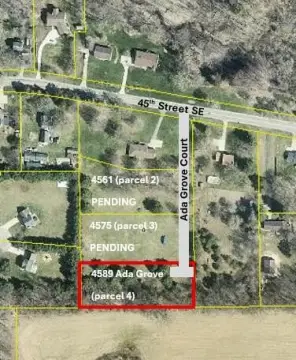
Property Details for 7490 Thornapple Riv SE Dr
- Lot size
- 2.49 lot acres
- Property size
- 378 SF
- Property type
- Commercial real estate
- APN
- 41-15-34-176-002
- APU
- 411534176002
Value Estimations
based on Realmo’s proprietary methodology
-
AI approach
-
CAP approach
-
Comparable approach
-
Alternative Use
Get a detailed, property-specific valuation — fast and free
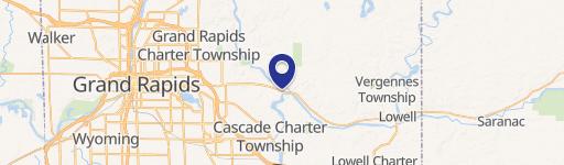
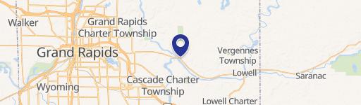
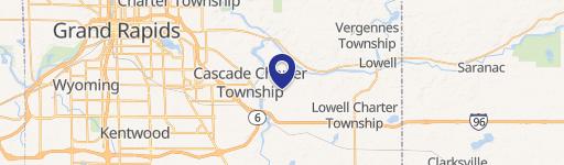
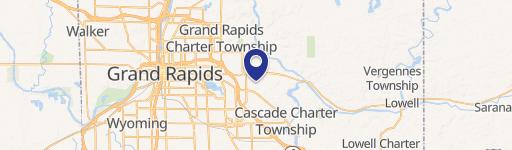
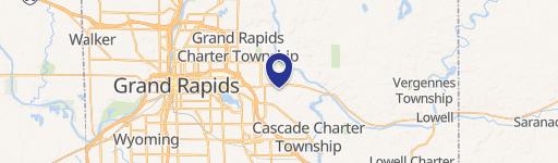
Location Insight
- Map
- Local Demand
- City
- Ada
- County
- Kent
- State
- Michigan
- Longitude
- -85.4854
- Latitude
- 42.9524
- CBSA code
- 24340
- CBSA name
- GRAND RAPIDS-WYOMING, MI METROPOLITAN STATISTICAL AREA
Property Tax & Assessments
Tax date
Tax Amount
Assessed Land Value
Assessed Improvement Value
Total Assessed Value
Applied Tax Rate
Land Market Value
Improvement Market Value
Total Market Value
2021
$0.00
$0.00
$0.00
$0.00
-
$0.00
$0.00
$0.00