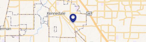
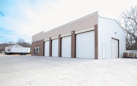
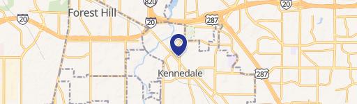
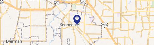
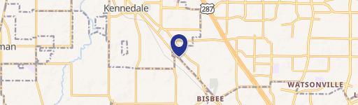
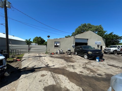
737 Kennedale Pkwy Kennedale, TX 76060
Property profile & analytics
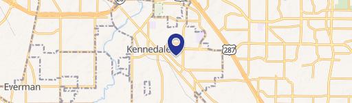
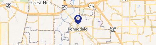
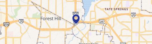
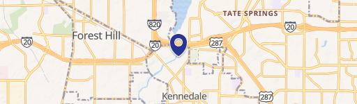
737 Kennedale Pkwy, Kennedale, TX 76060
- Grocery and convenience stores
- 2,394 SF
- 1.40 lot acres
Property ID
US82-1694084
The Realmo ID is a unique identifier assigned to every property, incorporating country codes and precise geo-coordinates for 300x300-foot land blocks. It enables standardized data collection and seamless integration of disparate sources such as ownership, tax, title data and physical specifications. By aggregating current and historical records, the Realmo ID powers advanced analytics and delivers deep, verifiable insights for real estate professionals.
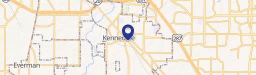
Location Intelligence
Current Use by Public Records
- Grocery and convenience stores
Property Details for 737 Kennedale Pkwy
- Year built
- 1986
- Lot size
- 1.40 lot acres
- Property type
- Grocery and convenience stores
- APN
- 42600-1-8R1
- APU
- 4260018R1
Sales History
| Date | Price | Buyer | Seller | Deed Type | Mortgage |
|---|---|---|---|---|---|
| Oct 4, 2017 | — | Anarkali Ents INC | — | Loan Modification · related | $3M · Vista Bk |
| May 5, 2011 | — | Anarkali Ents INC | — | Deed Of Trust · related | $2.1M · Woodforest National Bank |
| — | — | Anarkali Ents INC | — | Deed Of Trust · related | $640k · Vista Bk |
| — | — | Anarkali Enterprises INC | — | Deed Of Trust · related | $300k · Metrobank |
Value Estimations
based on Realmo’s proprietary methodology
-
AI approach
-
CAP approach
-
Comparable approach
-
Alternative Use
Get a detailed, property-specific estimation — fast and free
Location Insight
- Map
- Local Demand
- City
- Kennedale
- County
- Tarrant
- State
- Texas
- Longitude
- -97.2336
- Latitude
- 32.6577
- CBSA code
- 19100
- CBSA name
- DALLAS-FORT WORTH-ARLINGTON, TX METROPOLITAN STATISTICAL AREA
Property Tax & Assessments
Tax date
Tax Amount
Assessed Land Value
Assessed Improvement Value
Total Assessed Value
Applied Tax Rate
Land Market Value
Improvement Market Value
Total Market Value
2023
$11,094
$91,786
$384,371
$476,157
-
$91,786
$384,371
$476,157