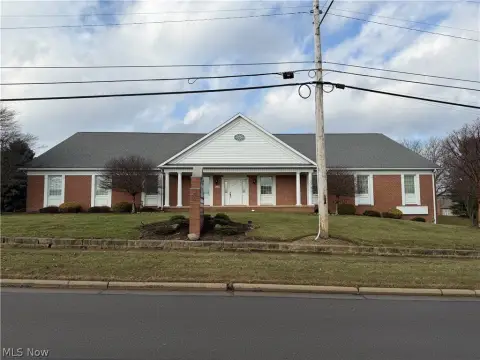
737 Industrial Blvd Wooster, OH 44691-8927
Property profile & analytics
737 Industrial Blvd, Wooster, OH 44691-8927
- Manufacturing properties
- 18,200 SF
- 2.34 lot acres
Property ID
US66-1349491
The Realmo ID is a unique identifier assigned to every property, incorporating country codes and precise geo-coordinates for 300x300-foot land blocks. It enables standardized data collection and seamless integration of disparate sources such as ownership, tax, title data and physical specifications. By aggregating current and historical records, the Realmo ID powers advanced analytics and delivers deep, verifiable insights for real estate professionals.
Location Intelligence
Current Use by Public Records
- Manufacturing properties
Property Details for 737 Industrial Blvd
- Year built
- 1982
- Lot size
- 2.34 lot acres
- Property type
- Manufacturing properties
- APN
- 66-00065-000
- APU
- 6600065000
Sales History
| Date | Price | Buyer | Seller | Deed Type | Mortgage |
|---|---|---|---|---|---|
| Sep 14, 2016 | — | Sumerel Family Trust | Tiresum LLC | Warranty Deed · related | $353k · North Side Bk |
| May 9, 2014 | $460,000 | Tiresum LLC | Kob Properties LLC | Warranty Deed | — |
| Jan 6, 2011 | $400,000 | Kob Properties LLC | K-s Bandag INC | Warranty Deed | — |
Value Estimations
based on Realmo’s proprietary methodology
-
Comparable approach
- Method
- Estimation
- Statistic Estimate
- $740,000
- AI Estimate
- $645,000
Market price range: $293k - $2.19MMarket price range: $292k - $1.62M -
Alternative Use
- Use
- Estimation
- INDUSTRIAL (GENERAL)
- $1,070,000 Current use
- RETAIL STORES
- $940,000 Change: -12% Conversion: Moderate
Get a detailed, property-specific estimation — fast and free
Location Insight
- Map
- Local Demand
- City
- Wooster
- County
- Wayne
- State
- Ohio
- Longitude
- -81.9161
- Latitude
- 40.8034
- CBSA code
- 49300
- CBSA name
- WOOSTER, OH MICROPOLITAN STATISTICAL AREA
Property Tax & Assessments
Tax date
Tax Amount
Assessed Land Value
Assessed Improvement Value
Total Assessed Value
Applied Tax Rate
Land Market Value
Improvement Market Value
Total Market Value
2023
$7,101
$18,600
$137,570
$156,170
-
$53,150
$393,060
$446,210