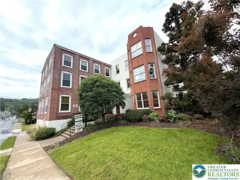
726 Broad St Emmaus, PA 18049
Property profile & analytics
726 Broad St, Emmaus, PA 18049
- Manufacturing properties
- 60,937 SF
- 2.90 lot acres

Property ID
US73-2792550
The Realmo ID is a unique identifier assigned to every property, incorporating country codes and precise geo-coordinates for 300x300-foot land blocks. It enables standardized data collection and seamless integration of disparate sources such as ownership, tax, title data and physical specifications. By aggregating current and historical records, the Realmo ID powers advanced analytics and delivers deep, verifiable insights for real estate professionals.
Location Intelligence
Current Use by Public Records
- Impress Packaging / Industrial Manufacturer / Production Facility
Property Details for 726 Broad St
- Year built
- 1880
- Lot size
- 2.90 lot acres
- Zone code
- I-L
- Property type
- Manufacturing properties
- APN
- 549443339413-1
- APU
- 5494433394131
Sales History
| Date | Price | Buyer | Seller | Deed Type | Mortgage |
|---|---|---|---|---|---|
| May 18, 1999 | — | G-t Conversion Corp | — | Grant Deed · related | $3.9M · First Union National Bank |
| Oct 31, 1997 | — | G-t Conversion Corp | — | Deed Of Trust · related | $1M · Corestates Bank |
Value Estimations
based on Realmo’s proprietary methodology
-
AI approach
- Method
- Estimation
- ML approach
- $805,000
-
Comparable approach
- Method
- Estimation
- AI Estimate
- $1,151,000
Market price range: $1.15M - $3.54M
Get a detailed, property-specific estimation — fast and free
Location Insight
- Map
- Local Demand
- City
- Emmaus
- County
- Lehigh
- State
- Pennsylvania
- Longitude
- -75.4981
- Latitude
- 40.5285
- CBSA code
- 10900
- CBSA name
- ALLENTOWN-BETHLEHEM-EASTON, PA-NJ METROPOLITAN STATISTICAL AREA
Property Tax & Assessments
Tax date
Tax Amount
Assessed Land Value
Assessed Improvement Value
Total Assessed Value
Applied Tax Rate
Land Market Value
Improvement Market Value
Total Market Value
2024
$23,886
$313,600
$426,700
$740,300
-
$313,600
$426,700
$740,300