Property profile & analytics
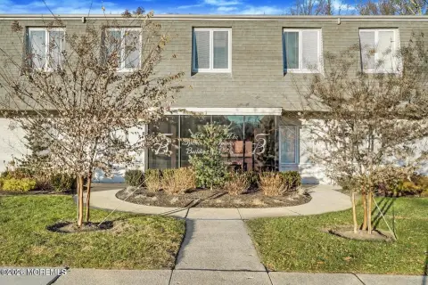
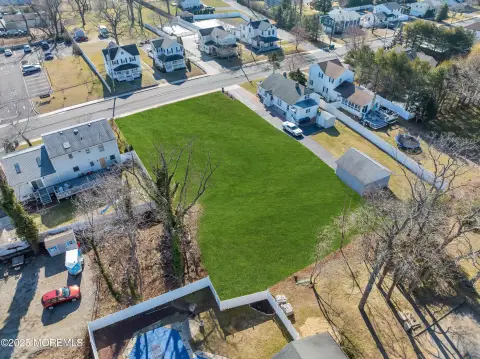
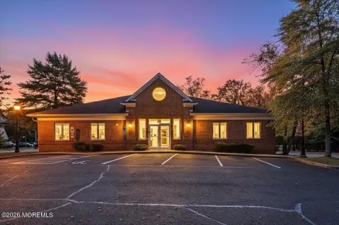
725 Carol Ave Oakhurst, NJ 07755-2743
- Commercial real estate
- 3,600 SF
- 0.41 lot acres
OFF-MARKET
Value Estimations
$650,000
Show details
Cap Rate Potential
Location Intelligence
Property ID
US59-0513475
The Realmo ID is a unique identifier assigned to every property, incorporating country codes and precise geo-coordinates for 300x300-foot land blocks. It enables standardized data collection and seamless integration of disparate sources such as ownership, tax, title data and physical specifications. By aggregating current and historical records, the Realmo ID powers advanced analytics and delivers deep, verifiable insights for real estate professionals.
Current Use by Public Records
- Law Offices of Peter C. Lucas, LLC / Law Firm
- Law Office of Brian P. Latimer Esq., LLC / Law Firm
Property Details for 725 Carol Ave
- Year built
- 1986
- Lot size
- 0.41 lot acres
- Property size
- 3,600 SF
- Property type
- Commercial real estate
- APN
- 37 00033- 15-00036
- APU
- 37000331500036
Value Estimations
based on Realmo’s proprietary methodology
-
CAP approach
- CAP Return
- Estimation
- 6%
- $810,000
- 6.5%
- $750,000
- 7%
- $695,000
Get a detailed, property-specific valuation — fast and free
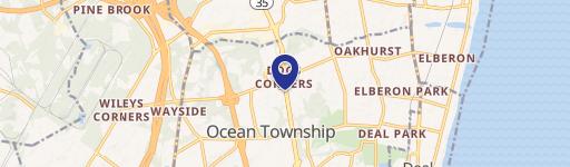
Location Insight
- Map
- Local Demand
- City
- Oakhurst
- County
- Monmouth
- State
- New Jersey
- Longitude
- -74.0402
- Latitude
- 40.2634
- CBSA code
- 35620
- CBSA name
- NEW YORK-NORTHERN NEW JERSEY-LONG ISLAND, NY-NJ-PA METROPOLITAN STATISTICAL AREA
Property Tax & Assessments
Tax date
Tax Amount
Assessed Land Value
Assessed Improvement Value
Total Assessed Value
Applied Tax Rate
Land Market Value
Improvement Market Value
Total Market Value
2023
$10,209
$330,000
$357,600
$687,600
-
$330,000
$357,600
$687,600