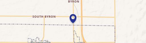
721 Main St Brownsville, WI 53006-2619
Property profile & analytics
721 Main St, Brownsville, WI 53006-2619
- Commercial real estate
- 1.40 lot acres
Property ID
US92-1013660
The Realmo ID is a unique identifier assigned to every property, incorporating country codes and precise geo-coordinates for 300x300-foot land blocks. It enables standardized data collection and seamless integration of disparate sources such as ownership, tax, title data and physical specifications. By aggregating current and historical records, the Realmo ID powers advanced analytics and delivers deep, verifiable insights for real estate professionals.
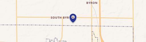
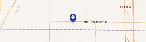
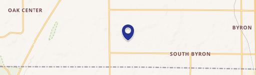
Location Intelligence
Current Use by Public Records
- Commercial real estate
Property Details for 721 Main St
- Lot size
- 1.40 lot acres
- Property type
- Commercial real estate
- APN
- 106-1317-0821-007
- APU
- 10613170821007
Sales History
| Date | Price | Buyer | Seller | Deed Type | Mortgage |
|---|---|---|---|---|---|
| Jan 2, 2019 | — | Thetis Station 1878 LLC | Jacobson Farmers Supply INC | Re-recorded Document · related | — |
| Dec 21, 2018 | $360,000 | Thetis Station 1878 LLC | Jacobson Farmers Supply INC | Warranty Deed | — |
| May 11, 2012 | $110,000 | Jacobson Farmers Supply INC | Gerald Schaefer | Intrafamily Transfer · related | — |
Value Estimations
based on Realmo’s proprietary methodology
-
AI approach
-
CAP approach
-
Comparable approach
-
Alternative Use
Get a detailed, property-specific estimation — fast and free
Location Insight
- Map
- Local Demand
- City
- Brownsville
- County
- Dodge
- State
- Wisconsin
- Longitude
- -88.4932
- Latitude
- 43.6157
- CBSA code
- 13180
- CBSA name
- BEAVER DAM, WI MICROPOLITAN STATISTICAL AREA
Property Tax & Assessments
Tax date
Tax Amount
Assessed Land Value
Assessed Improvement Value
Total Assessed Value
Applied Tax Rate
Land Market Value
Improvement Market Value
Total Market Value
2023
$4,148
$71,100
$231,400
$302,500
-
$0.00
$0.00
$313,200