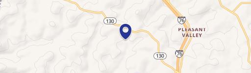
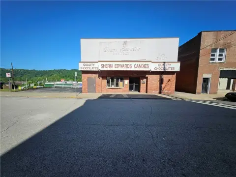
718 State Rte 130 Trafford, PA 15085-1635
Property profile & analytics
718 State Rte 130, Trafford, PA 15085-1635
- Commercial real estate
- 576 SF
- 0.70 lot acres
Property ID
US73-1404777
The Realmo ID is a unique identifier assigned to every property, incorporating country codes and precise geo-coordinates for 300x300-foot land blocks. It enables standardized data collection and seamless integration of disparate sources such as ownership, tax, title data and physical specifications. By aggregating current and historical records, the Realmo ID powers advanced analytics and delivers deep, verifiable insights for real estate professionals.
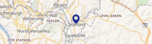
Location Intelligence
Current Use by Public Records
- Commercial real estate
Property Details for 718 State Rte 130
- Year built
- 1947
- Construction
- FRAME
- Lot size
- 0.70 lot acres
- Property type
- Commercial real estate
- APN
- 55-02-15-0-107-60-001
- APU
- 550215010760001
Sales History
| Date | Price | Buyer | Seller | Deed Type | Mortgage |
|---|---|---|---|---|---|
| Aug 1, 2023 | $600,000 | Phillips Monuments Company LLC | Maryann Phillips | Deed | $150k · The Estate Of Mary Ann Philps |
| — | — | Phillips,maryann | — | Deed Of Trust · related | $75k · First Niagara Bk |
Value Estimations
based on Realmo’s proprietary methodology
-
AI approach
- Method
- Estimation
- Statistic approach
- $615,000
- ML approach
- $605,000
Get a detailed, property-specific estimation — fast and free
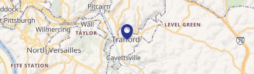
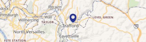
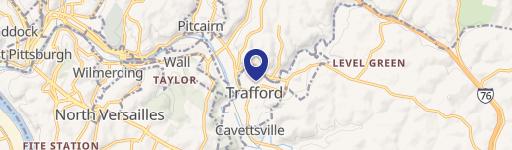
Location Insight
- Map
- Local Demand
- City
- Trafford
- County
- Westmoreland
- State
- Pennsylvania
- Longitude
- -79.7212
- Latitude
- 40.389
- CBSA code
- 38300
- CBSA name
- PITTSBURGH, PA METROPOLITAN STATISTICAL AREA
Property Tax & Assessments
Tax date
Tax Amount
Assessed Land Value
Assessed Improvement Value
Total Assessed Value
Applied Tax Rate
Land Market Value
Improvement Market Value
Total Market Value
2024
$2,369
$3,840
$13,590
$17,430
-
$3,840
$13,590
$17,430