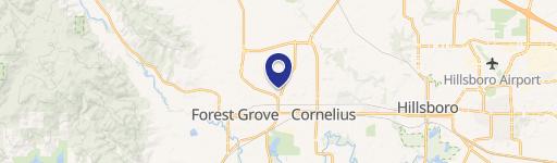
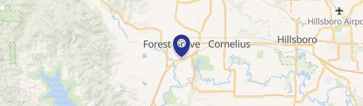
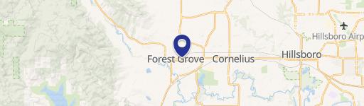
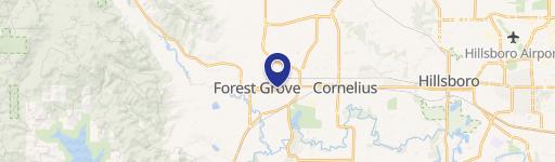
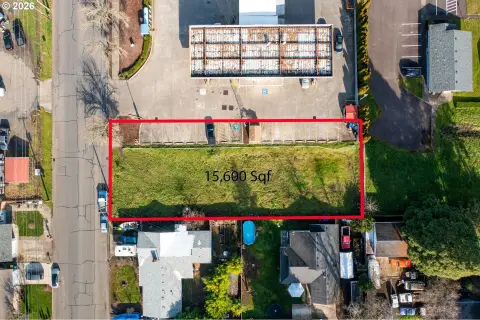
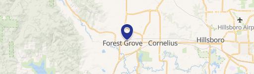
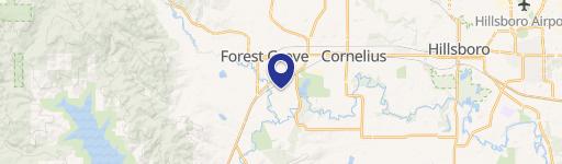
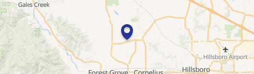
7118 Kansas City Rd Forest Grove, OR 97116-7828
Property profile & analytics
7118 Kansas City Rd, Forest Grove, OR 97116-7828
- Specialty properties
- 2,772 SF
- 129.27 lot acres
Property ID
US71-0440096
The Realmo ID is a unique identifier assigned to every property, incorporating country codes and precise geo-coordinates for 300x300-foot land blocks. It enables standardized data collection and seamless integration of disparate sources such as ownership, tax, title data and physical specifications. By aggregating current and historical records, the Realmo ID powers advanced analytics and delivers deep, verifiable insights for real estate professionals.
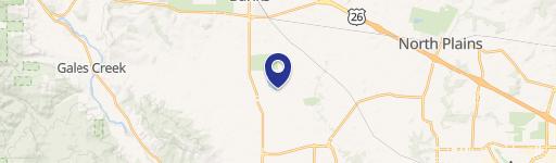
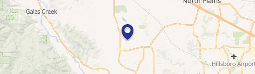
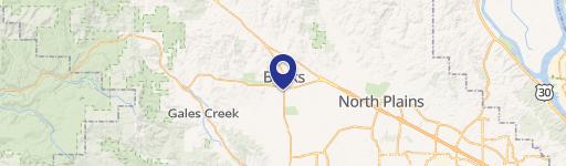
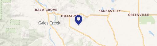
Location Intelligence
Current Use by Public Records
- Specialty properties
Property Details for 7118 Kansas City Rd
- Lot size
- 129.27 lot acres
- Zone code
- EFU
- Property type
- Specialty properties
- APN
- 1N41300-00300
- APU
- 1N4130000300
Sales History
| Date | Price | Buyer | Seller | Deed Type | Mortgage |
|---|---|---|---|---|---|
| Jun 24, 2024 | — | James M Love | James M Love | Deed · related | — |
| — | — | Love Brothers Enterprises | — | Deed Of Trust · related | $312k · Northwest Farm Credit Svcs |
Value Estimations
based on Realmo’s proprietary methodology
-
Comparable approach
- Method
- Estimation
- Statistic Estimate
- $1,001,000
- AI Estimate
- $1,001,000
Market price range: $267k - $2.18MMarket price range: $267k - $2.18M
Get a detailed, property-specific estimation — fast and free
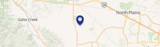
Location Insight
- Map
- Local Demand
- City
- Forest Grove
- County
- Washington
- State
- Oregon
- Longitude
- -123.131
- Latitude
- 45.5731
- CBSA code
- 38900
- CBSA name
- PORTLAND-VANCOUVER-BEAVERTON, OR-WA METROPOLITAN STATISTICAL AREA
Property Tax & Assessments
Tax date
Tax Amount
Assessed Land Value
Assessed Improvement Value
Total Assessed Value
Applied Tax Rate
Land Market Value
Improvement Market Value
Total Market Value
2023
$2,598
$0.00
$0.00
$180,690
-
$723,950
$37,670
$761,620