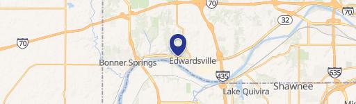
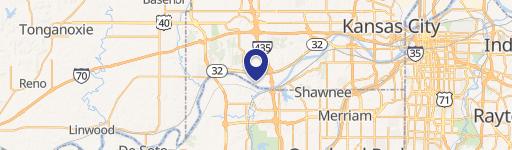
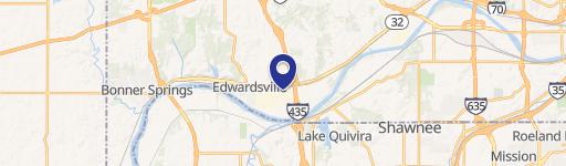
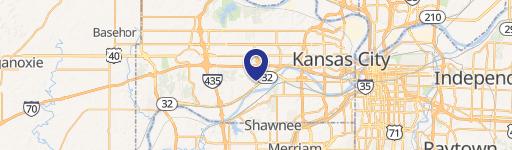
7111 Griffin Rd Kansas City, KS 66111-2406
Property profile & analytics
7111 Griffin Rd, Kansas City, KS 66111-2406
- Manufacturing properties
- 149,292 SF
- 49.29 lot acres
Property ID
US33-0344179
The Realmo ID is a unique identifier assigned to every property, incorporating country codes and precise geo-coordinates for 300x300-foot land blocks. It enables standardized data collection and seamless integration of disparate sources such as ownership, tax, title data and physical specifications. By aggregating current and historical records, the Realmo ID powers advanced analytics and delivers deep, verifiable insights for real estate professionals.
Location Intelligence
Current Use by Public Records
- Griffin Wheel Co / Industrial Manufacturer / Production Facility
- Amsted Rail / Freight Service / Logistics Company
Property Details for 7111 Griffin Rd
- Year built
- 2007
- Lot size
- 49.29 lot acres
- Property type
- Manufacturing properties
- APN
- 925703
- APU
- 925703
Sales History
| Date | Price | Buyer | Seller | Deed Type | Mortgage |
|---|---|---|---|---|---|
| Oct 17, 2005 | — | Griffin Wheel Co INC | Amsted Industries INC | Quit Claim Deed · related | — |
Value Estimations
based on Realmo’s proprietary methodology
-
AI approach
-
CAP approach
-
Comparable approach
-
Alternative Use
Get a detailed, property-specific estimation — fast and free
Location Insight
- Map
- Local Demand
- City
- Kansas City
- County
- Wyandotte
- State
- Kansas
- Longitude
- -94.7421
- Latitude
- 39.0807
- CBSA code
- 28140
- CBSA name
- KANSAS CITY, MO-KS METROPOLITAN STATISTICAL AREA
Property Tax & Assessments
Tax date
Tax Amount
Assessed Land Value
Assessed Improvement Value
Total Assessed Value
Applied Tax Rate
Land Market Value
Improvement Market Value
Total Market Value
2023
$73,050
$283,223
$145,165
$428,388
-
$1,132,890
$580,660
$1,713,550