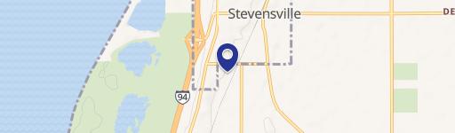
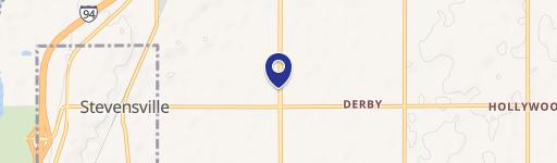
7059 Red Arrow Hwy Stevensville, MI 49127-9681
Property profile & analytics
7059 Red Arrow Hwy Stevensville, MI 49127-9681
- Manufacturing properties
- 28,000 SF
- 2.41 lot acres
Property ID
US43-2838222
The Realmo ID is a unique identifier assigned to every property, incorporating country codes and precise geo-coordinates for 300x300-foot land blocks. It enables standardized data collection and seamless integration of disparate sources such as ownership, tax, title data and physical specifications. By aggregating current and historical records, the Realmo ID powers advanced analytics and delivers deep, verifiable insights for real estate professionals.
Location Intelligence
Current Use by Public Records
- Custom Tool & Die / Building Supply / Metal Fabrication Plant
Property Details for 7059 Red Arrow Hwy
- Year built
- 1998
- Lot size
- 2.41 lot acres
- Property size
- 28,000 SF
- Zone code
- LI
- Property type
- Manufacturing properties
- APN
- 12-0032-0004-05-3
- APU
- 1200320004053
Value Estimations
based on Realmo’s proprietary methodology
-
Comparable approach
- Method
- Estimation
- Statistic Estimate
- $1,140,000
- AI Estimate
- $1,140,000
Market price range: $370k - $1.18MMarket price range: $370k - $1.18M -
Alternative Use
- Use
- Estimation
- INDUSTRIAL (GENERAL)
- $705,000 Current use
- AUTO REPAIR, GARAGE
- $1,745,000 Change: +148% Conversion: Easy
- WAREHOUSE, STORAGE
- $1,140,000 Change: +62% Conversion: Easy
Get a detailed, property-specific estimation — fast and free
Location Insight
- Map
- Local Demand
- City
- Stevensville
- County
- Berrien
- State
- Michigan
- Longitude
- -86.5358
- Latitude
- 41.9901
- CBSA code
- 35660
- CBSA name
- NILES-BENTON HARBOR, MI METROPOLITAN STATISTICAL AREA
Property Tax & Assessments
Tax date
Tax Amount
Assessed Land Value
Assessed Improvement Value
Total Assessed Value
Applied Tax Rate
Land Market Value
Improvement Market Value
Total Market Value
2023
$21,501
$0.00
$0.00
$505,100
-
$0.00
$0.00
$1,010,200