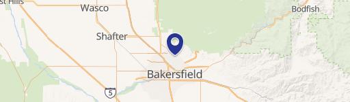
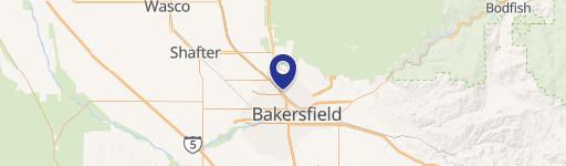
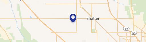
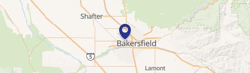
701 12th Decatur St Bakersfield, CA 93308-4242
Property Lookup
Property profile & analytics
701 12th Decatur St Bakersfield, CA 93308-4242
- Commercial land
- 762 SF
- 0.16 lot acres
Property ID
US09-1202289
The Realmo ID is a unique identifier assigned to every property, incorporating country codes and precise geo-coordinates for 300x300-foot land blocks. It enables standardized data collection and seamless integration of disparate sources such as ownership, tax, title data and physical specifications. By aggregating current and historical records, the Realmo ID powers advanced analytics and delivers deep, verifiable insights for real estate professionals.
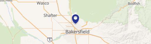
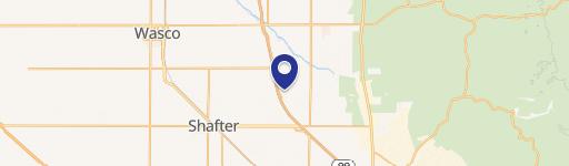
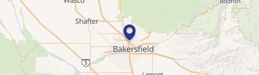
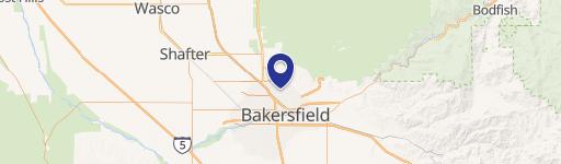
Location Intelligence
Current Use by Public Records
- Commercial land
Property Details for 701 12th Decatur St
- Year built
- 1937
- Construction
- WOOD FRAME
- Lot size
- 0.16 lot acres
- Property size
- 762 SF
- Zone code
- C1
- Property type
- Commercial land
- APN
- 113-055-16-00-0
- APU
- 11305516000
Description
This Bakersfield, CA property offers a unique investment opportunity. Situated on a 7,000 square foot corner lot at the intersection of Decatur Street and Sequoia Drive in Oildale, this location boasts high visibility due to a four-way stop sign and significant daily traffic. The existing 762 square foot building, constructed in 1937, presents a potential redevelopment project. Currently vacant, the building includes all utilities and sits on a 0.16-acre lot (6,800-7,000 sq ft). Zoned C-1 (Neighborhood Commercial) within Kern County, this property allows for a variety of commercial uses. The building's condition is described as distressed, offering a chance to renovate and create a thriving business. The property's address is 701 1/2 Decatur Street, Bakersfield, CA 93308, with APN 113-055-16-00-0. This single-tenant property presents a compelling opportunity for investors seeking a high-traffic location with redevelopment potential. The property's classification is Class D.
Value Estimations
based on Realmo’s proprietary methodology
-
AI approach
-
CAP approach
-
Comparable approach
-
Alternative Use
Get a detailed, property-specific estimation — fast and free
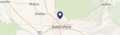
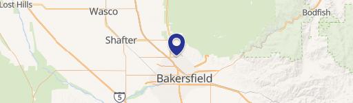
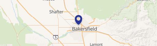
Location Insight
- Map
- Local Demand
- City
- Bakersfield
- County
- Kern
- State
- California
- Longitude
- -119.035
- Latitude
- 35.4133
- CBSA code
- 12540
- CBSA name
- BAKERSFIELD, CA METROPOLITAN STATISTICAL AREA
Property Tax & Assessments
Tax date
Tax Amount
Assessed Land Value
Assessed Improvement Value
Total Assessed Value
Applied Tax Rate
Land Market Value
Improvement Market Value
Total Market Value
2023
$1,722
$56,000
$35,000
$91,000
-
$0.00
$0.00
$0.00