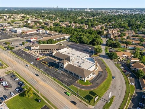
6922 Mingo Rd Tulsa, OK 74133-3216
Property Lookup
Property profile & analytics
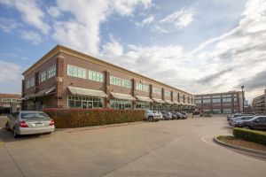
6922 Mingo Rd Tulsa, OK 74133-3216
- Warehouses
- 141,925 SF
- 17.95 lot acres
Property ID
US69-0744272
The Realmo ID is a unique identifier assigned to every property, incorporating country codes and precise geo-coordinates for 300x300-foot land blocks. It enables standardized data collection and seamless integration of disparate sources such as ownership, tax, title data and physical specifications. By aggregating current and historical records, the Realmo ID powers advanced analytics and delivers deep, verifiable insights for real estate professionals.
Location Intelligence
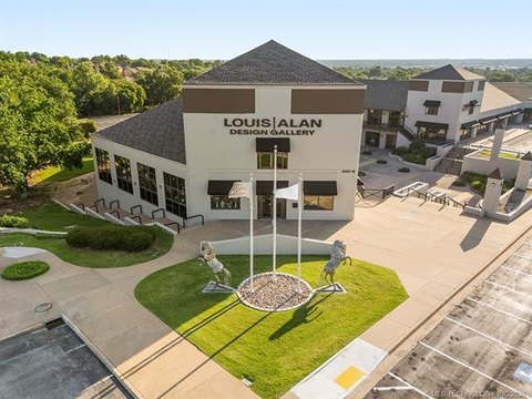
Current Use by Public Records
- Sam's Club Cafe / Cafe & Coffee Shop
- Lucid Hearing Center / Physician
- T-Mobile / Telecommunications Service / Data Center
- Sam's Club Gas Station / Gas Station
- Sam's Club Bakery / Bakery / Specialty Food Shop
Property Details for 6922 Mingo Rd
- Year built
- 1991
- Construction
- STEEL FRAME
- Lot size
- 17.95 lot acres
- Property size
- 141,925 SF
- Zone code
- CS
- Property type
- Warehouses
- APN
- 76845-83-01-52550
- APU
- 76845830152550
Value Estimations
based on Realmo’s proprietary methodology
-
Comparable approach
- Method
- Estimation
- Statistic Estimate
- $7,166,000
- AI Estimate
- $4,479,000
Market price range: $5.31M - $13.0MMarket price range: $1.34M - $10.2M -
Alternative Use
- Use
- Estimation
- WAREHOUSE, STORAGE
- $8,695,000 Current use
- NEIGHBORHOOD: SHOPPING CENTER
- $10,235,000 Change: +18% Conversion: Moderate
Get a detailed, property-specific estimation — fast and free
Location Insight
- Map
- Local Demand
- City
- Tulsa
- County
- Tulsa
- State
- Oklahoma
- Longitude
- -95.8711
- Latitude
- 36.0625
- CBSA code
- 46140
- CBSA name
- TULSA, OK METROPOLITAN STATISTICAL AREA
Property Tax & Assessments
Tax date
Tax Amount
Assessed Land Value
Assessed Improvement Value
Total Assessed Value
Applied Tax Rate
Land Market Value
Improvement Market Value
Total Market Value
2023
$138,454
$515,977
$508,926
$1,024,903
-
$4,690,700
$4,626,600
$9,317,300