Property profile & analytics
6661 Maricamp Rd Ocala, FL 34472-2809
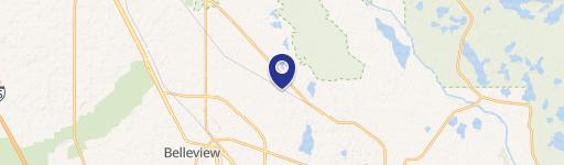
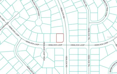
This 1.58-acre parcel is located near the Marjorie Harris Carr Florida Greenways and the Baseline Trailhead. The property has a land use designation of Commercial and Low Density Residential with A-1 zoning. The location benefits from high traffic volume and provides convenient access to the post office, Walmart, and hospitals.
- Land
- 1.58 lot acres
OFF-MARKET
Value Estimation
Location Intelligence
Property ID
US18-3246412
The Realmo ID is a unique identifier assigned to every property, incorporating country codes and precise geo-coordinates for 300x300-foot land blocks. It enables standardized data collection and seamless integration of disparate sources such as ownership, tax, title data and physical specifications. By aggregating current and historical records, the Realmo ID powers advanced analytics and delivers deep, verifiable insights for real estate professionals.
Current Use by Public Records
- Land
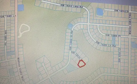
Property Details for 6661 Maricamp Rd
- Lot size
- 1.58 lot acres
- Zone code
- A1
- Property type
- Land
- APN
- 37471-005-00
- APU
- 3747100500
Property Overview
This 1.58-acre parcel is located near the Marjorie Harris Carr Florida Greenways and the Baseline Trailhead. The property has a land use designation of Commercial and Low Density Residential with A-1 zoning. The location benefits from high traffic volume and provides convenient access to the post office, Walmart, and hospitals.
Value Estimation
Powered by Realmo proprietary methodology
Last update: July 3, 2025
-
CAP approach
-
Comparable approach
-
Alternative Use
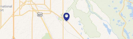
Location Insight
- Map
- Local Demand
- City
- Ocala
- County
- Marion
- State
- Florida
- Longitude
- -82.0421
- Latitude
- 29.1341
- CBSA code
- 36100
- CBSA name
- OCALA, FL METROPOLITAN STATISTICAL AREA
Property Tax & Assessments
Tax date
Tax Amount
Assessed Land Value
Assessed Improvement Value
Total Assessed Value
Applied Tax Rate
Land Market Value
Improvement Market Value
Total Market Value
2023
$794
$0.00
$0.00
$20,821
-
$90,400
$0.00
$90,400