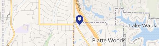
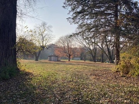
6600 Northwest Tower Dr Platte Woods, MO 64151
Property profile & analytics
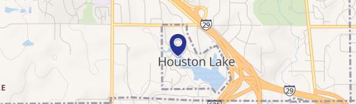
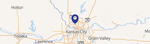
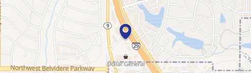
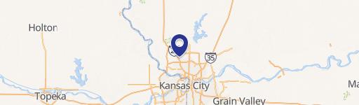
6600 Northwest Tower Dr, Platte Woods, MO 64151
- Office buildings
- 5,749 SF
- 0.70 lot acres
Property ID
US48-0497365
The Realmo ID is a unique identifier assigned to every property, incorporating country codes and precise geo-coordinates for 300x300-foot land blocks. It enables standardized data collection and seamless integration of disparate sources such as ownership, tax, title data and physical specifications. By aggregating current and historical records, the Realmo ID powers advanced analytics and delivers deep, verifiable insights for real estate professionals.
Location Intelligence
Current Use by Public Records
- Office buildings
Property Details for 6600 Northwest Tower Dr
- Year built
- 1960
- Lot size
- 0.70 lot acres
- Property type
- Office buildings
- APN
- 19-4.0-18-200-004-012-000
- APU
- 194018200004012000
Sales History
| Date | Price | Buyer | Seller | Deed Type | Mortgage |
|---|---|---|---|---|---|
| Oct 1, 2024 | — | Hillcrest Platte County | Moba Estates LLC | Special Warranty Deed | — |
| Aug 1, 2018 | — | Schott Industries INC | — | Grant Deed · related | $1.9M · Bankliberty |
| — | — | Schott Industries INC | — | Deed Of Trust · related | $500k · First Bank Missouri |
Value Estimations
based on Realmo’s proprietary methodology
-
AI approach
-
CAP approach
-
Comparable approach
-
Alternative Use
Get a detailed, property-specific estimation — fast and free
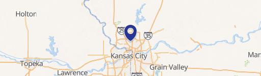
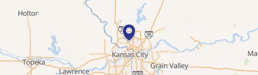
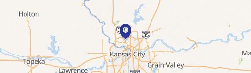
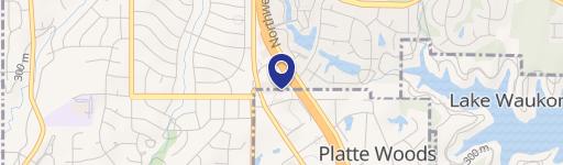
Location Insight
- Map
- Local Demand
- City
- Platte Woods
- County
- Platte
- State
- Missouri
- Longitude
- -94.6566
- Latitude
- 39.2326
- CBSA code
- 28140
- CBSA name
- KANSAS CITY, MO-KS METROPOLITAN STATISTICAL AREA
Property Tax & Assessments
Tax date
Tax Amount
Assessed Land Value
Assessed Improvement Value
Total Assessed Value
Applied Tax Rate
Land Market Value
Improvement Market Value
Total Market Value
2023
$5,741
$12,768
$61,312
$74,080
-
$39,900
$191,600
$231,500