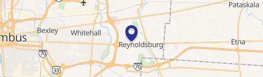
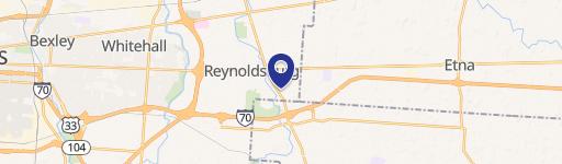
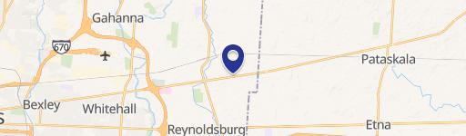
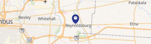
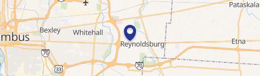
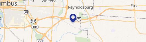
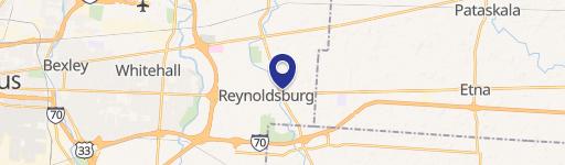
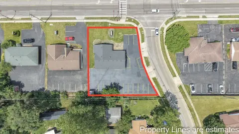
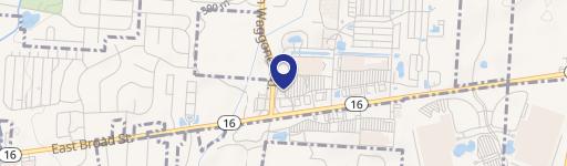
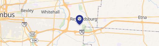
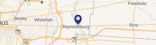
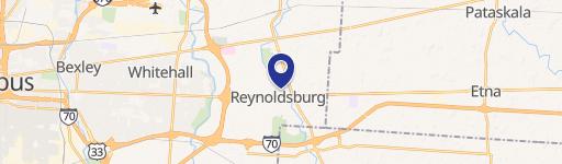
6525 Tussing Rd Reynoldsburg, OH 43068-4001
Property profile & analytics
6525 Tussing Rd, Reynoldsburg, OH 43068-4001
- Gas stations
- 3,175 SF
- 0.91 lot acres
Property ID
US66-2313739
The Realmo ID is a unique identifier assigned to every property, incorporating country codes and precise geo-coordinates for 300x300-foot land blocks. It enables standardized data collection and seamless integration of disparate sources such as ownership, tax, title data and physical specifications. By aggregating current and historical records, the Realmo ID powers advanced analytics and delivers deep, verifiable insights for real estate professionals.
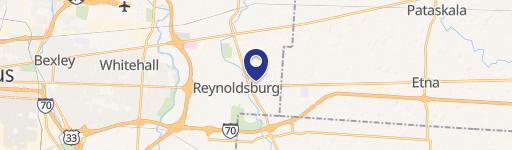
Location Intelligence
Current Use by Public Records
- United Dairy Farmers / Grocery & Convenience Store / Food Market
- PNC ATM / Atm
- Amazon Locker - Acrobat / Postal Service / Courier Service
Property Details for 6525 Tussing Rd
- Year built
- 1987
- Lot size
- 0.91 lot acres
- Property type
- Gas stations
- APN
- 530-209084
- APU
- 530209084
Sales History
| Date | Price | Buyer | Seller | Deed Type | Mortgage |
|---|---|---|---|---|---|
| May 16, 2019 | — | United Dairy Farmers INC | — | Loan Modification · related | $44.1M · Huntington Nat'l Bk |
| Feb 1, 2017 | — | United Dairy Farmers INC | — | Grant Deed · related | $27.5M · Huntington Nat'l Bk |
Value Estimations
based on Realmo’s proprietary methodology
-
AI approach
-
CAP approach
-
Comparable approach
-
Alternative Use
Get a detailed, property-specific estimation — fast and free
Location Insight
- Map
- Local Demand
- City
- Reynoldsburg
- County
- Franklin
- State
- Ohio
- Longitude
- -82.8255
- Latitude
- 39.9268
- CBSA code
- 18140
- CBSA name
- COLUMBUS, OH METROPOLITAN STATISTICAL AREA
Property Tax & Assessments
Tax date
Tax Amount
Assessed Land Value
Assessed Improvement Value
Total Assessed Value
Applied Tax Rate
Land Market Value
Improvement Market Value
Total Market Value
2023
$11,932
$141,400
$64,440
$205,840
-
$404,000
$184,100
$588,100