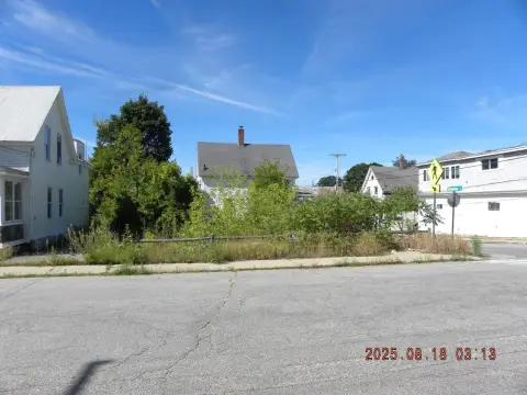
63 Community Dr Sanford, ME 04073-5809
Property profile & analytics
63 Community Dr, Sanford, ME 04073-5809
- Manufacturing properties
- 89,638 SF
- 10.05 lot acres
Property ID
US42-0224133
The Realmo ID is a unique identifier assigned to every property, incorporating country codes and precise geo-coordinates for 300x300-foot land blocks. It enables standardized data collection and seamless integration of disparate sources such as ownership, tax, title data and physical specifications. By aggregating current and historical records, the Realmo ID powers advanced analytics and delivers deep, verifiable insights for real estate professionals.
Location Intelligence
Current Use by Public Records
- GVS North America / Factory / Production Facility
Property Details for 63 Community Dr
- Year built
- 1983
- Construction
- STEEL FRAME
- Lot size
- 10.05 lot acres
- Zone code
- IB
- Property type
- Manufacturing properties
- APN
- SANF M:0R19 B:310
- APU
- SANFM0R19B310
Sales History
| Date | Price | Buyer | Seller | Deed Type | Mortgage |
|---|---|---|---|---|---|
| May 9, 2014 | — | Maine Mfg LLC | Aromando,ronald & Lorraine A | Warranty Deed · related | — |
Value Estimations
based on Realmo’s proprietary methodology
-
Comparable approach
- Method
- Estimation
- AI Estimate
- $9,399,000
Market price range: $2.17M - $16.1M -
Alternative Use
- Use
- Estimation
- INDUSTRIAL (GENERAL)
- $8,385,000 Current use
- RESTAURANT
- $11,340,000 Change: +35% Conversion: Difficult
- COMMERCIAL (GENERAL)
- $9,510,000 Change: +13% Conversion: Difficult
- AUTO REPAIR, GARAGE
- $9,115,000 Change: +9% Conversion: Easy
- RETAIL STORES
- $8,775,000 Change: +5% Conversion: Moderate
Get a detailed, property-specific estimation — fast and free
Location Insight
- Map
- Local Demand
- City
- Sanford
- County
- York
- State
- Maine
- Longitude
- -70.6984
- Latitude
- 43.4042
- CBSA code
- 38860
- CBSA name
- PORTLAND-SOUTH PORTLAND-BIDDEFORD, ME METROPOLITAN STATISTICAL AREA
Property Tax & Assessments
Tax date
Tax Amount
Assessed Land Value
Assessed Improvement Value
Total Assessed Value
Applied Tax Rate
Land Market Value
Improvement Market Value
Total Market Value
2024
$53,716
$286,100
$3,042,000
$3,328,100
-
$0.00
$0.00
$0.00