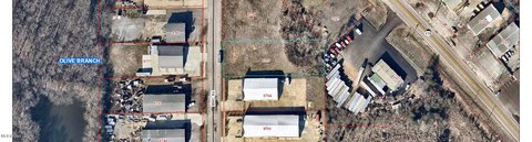
6240 Davidson Rd Olive Branch, MS 38654
- Commercial real estate
- 902 SF
- 23.61 lot acres
Current Use by Public Records
- Commercial real estate
Property Details for 6240 Davidson Rd
- Year built
- 2000
- Construction
- BRICK
- Lot size
- 23.61 lot acres
- Property size
- 902 SF
- Zone code
- A-R
- Property type
- Commercial real estate
- APN
- 1-06-9-31-00-0-00023-00
- APU
- 1069310000002300
Description
This exceptional 11.32-acre parcel of unimproved land presents a remarkable investment opportunity in the thriving city of Olive Branch, Mississippi. Located at 6240 Davidson Road, this property is zoned A-R (Agricultural/Residential) and offers significant potential for various development projects. Utilities are conveniently available on-site. While currently zoned for agricultural and residential use, special conditional zoning permits may be pursued to explore alternative uses. The City of Olive Branch has plans to extend Davidson Road, creating a highly desirable hard corner intersection at the southwest corner of the property, connecting to Autumn Valley Drive. Note that the timing and final approval of this road extension are currently unknown. A portion of the property (approximately 1 acre) will be retained by the seller, as indicated on the provided map illustrating the proposed road extension and intersection. This 11.32-acre tract in DeSoto County, Mississippi (zip code 38654) is priced at $1,125,000. The property's location offers easy access to key amenities and infrastructure, making it an attractive proposition for developers and investors seeking a strategic foothold in a rapidly growing area. Serious inquiries are encouraged.
Value Estimations
-
AI approach
-
CAP approach
-
Comparable approach
-
Alternative Use
Get a detailed, property-specific valuation — fast and free
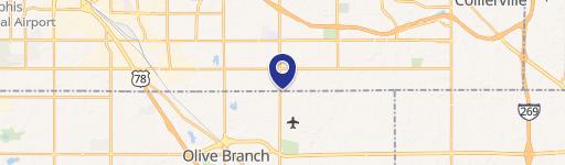
Location Insight
- Map
- Local Demand
- City
- Olive Branch
- County
- Desoto
- State
- Mississippi
- Longitude
- -89.8814
- Latitude
- 34.95
- CBSA code
- 32820
- CBSA name
- MEMPHIS, TN-MS-AR METROPOLITAN STATISTICAL AREA