Property profile & analytics
62 Randall Ave Freeport, NY 11520-2727
- Residential income homes
- 1,407 SF
- 0.29 lot acres
OFF-MARKET
Value Estimation
Location Intelligence
Property ID
US63-0050777
The Realmo ID is a unique identifier assigned to every property, incorporating country codes and precise geo-coordinates for 300x300-foot land blocks. It enables standardized data collection and seamless integration of disparate sources such as ownership, tax, title data and physical specifications. By aggregating current and historical records, the Realmo ID powers advanced analytics and delivers deep, verifiable insights for real estate professionals.
Current Use by Public Records
- Residential income homes
Property Details for 62 Randall Ave
- Year built
- 1903
- Construction
- FRAME
- Lot size
- 0.29 lot acres
- Property size
- 1,407 SF
- Property type
- Residential income homes
- Property subtype
- Serviced apartments
- APN
- 55-267-00-0222
- APU
- 55267000222
Value Estimation
Powered by Realmo proprietary methodology
Last update: July 3, 2025
-
CAP approach
-
Comparable approach
-
Alternative Use
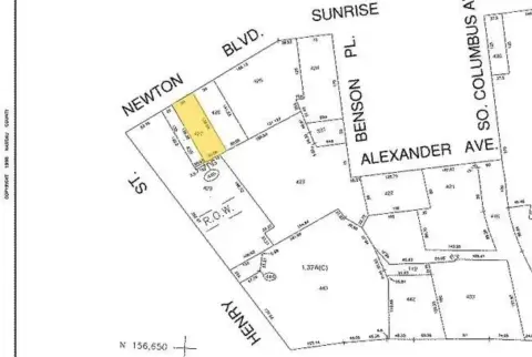
Location Insight
- Map
- Local Demand
- City
- Freeport
- County
- Nassau
- State
- New York
- Longitude
- -73.5878
- Latitude
- 40.6597
- CBSA code
- 35620
- CBSA name
- NEW YORK-NORTHERN NEW JERSEY-LONG ISLAND, NY-NJ-PA METROPOLITAN STATISTICAL AREA
Property Tax & Assessments
Tax date
Tax Amount
Assessed Land Value
Assessed Improvement Value
Total Assessed Value
Applied Tax Rate
Land Market Value
Improvement Market Value
Total Market Value
2023
$0.00
$2,625
$4,529
$7,154
-
$0.00
$0.00
$715,400