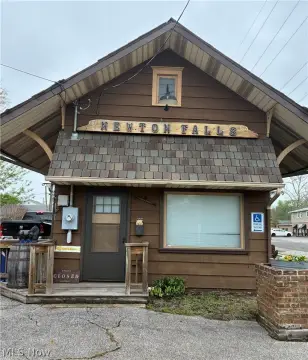
607 Rdg Rd Newton Falls, OH 44444-1013
Property profile & analytics
607 Rdg Rd, Newton Falls, OH 44444-1013
- Retail space
- 2,664 SF
- 10.14 lot acres
Property ID
US66-1296580
The Realmo ID is a unique identifier assigned to every property, incorporating country codes and precise geo-coordinates for 300x300-foot land blocks. It enables standardized data collection and seamless integration of disparate sources such as ownership, tax, title data and physical specifications. By aggregating current and historical records, the Realmo ID powers advanced analytics and delivers deep, verifiable insights for real estate professionals.
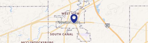
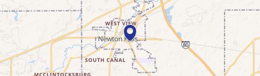
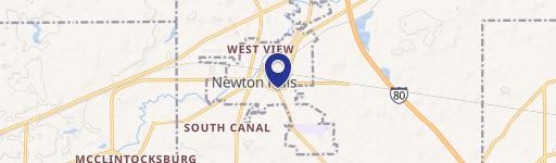
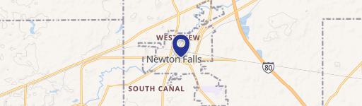
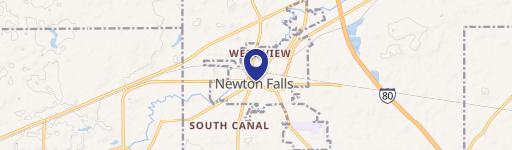
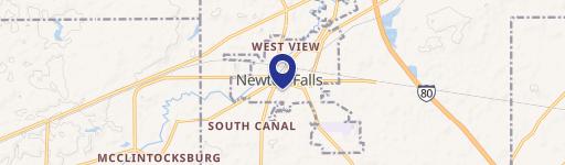
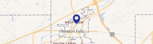
Location Intelligence
Current Use by Public Records
- Retail space
Property Details for 607 Rdg Rd
- Year built
- 1975
- Lot size
- 10.14 lot acres
- Property type
- Retail space
- APN
- 53-263860
- APU
- 53263860
Sales History
| Date | Price | Buyer | Seller | Deed Type | Mortgage |
|---|---|---|---|---|---|
| Jun 10, 2022 | — | Newton Village Reorganization LLC | — | Deed · related | $10.5M · Key Bank NA |
| Jan 6, 2021 | — | Newton Vlg Reorganization LLC | — | Deed · related | $7.5M · Keybank USA |
| Dec 3, 2020 | — | Newton Vlg Reorganization LLC | Newton Village Apartment Co | Quit Claim Deed · related | — |
| — | — | Newton Vlg Reorganization LLC | — | Deed Of Trust · related | $7.5M · Keybank USA |
Value Estimations
based on Realmo’s proprietary methodology
-
AI approach
-
CAP approach
-
Comparable approach
-
Alternative Use
Get a detailed, property-specific estimation — fast and free
Location Insight
- Map
- Local Demand
- City
- Newton Falls
- County
- Trumbull
- State
- Ohio
- Longitude
- -80.9797
- Latitude
- 41.1964
- CBSA code
- 49660
- CBSA name
- YOUNGSTOWN-WARREN-BOARDMAN, OH-PA METROPOLITAN STATISTICAL AREA
Property Tax & Assessments
Tax date
Tax Amount
Assessed Land Value
Assessed Improvement Value
Total Assessed Value
Applied Tax Rate
Land Market Value
Improvement Market Value
Total Market Value
2023
$100,828
$271,950
$1,670,550
$1,942,500
-
$777,000
$4,773,000
$5,550,000