6046 Sheridan Rd Tulsa, OK 74145-9212
Property Lookup
Property profile & analytics
6046 Sheridan Rd Tulsa, OK 74145-9212
- Community centers
- 48,125 SF
- 6.31 lot acres
Property ID
US69-0486143
The Realmo ID is a unique identifier assigned to every property, incorporating country codes and precise geo-coordinates for 300x300-foot land blocks. It enables standardized data collection and seamless integration of disparate sources such as ownership, tax, title data and physical specifications. By aggregating current and historical records, the Realmo ID powers advanced analytics and delivers deep, verifiable insights for real estate professionals.
Location Intelligence
Current Use by Public Records
- Tulsa Diagnostic Imaging - MRI Facility / Medical Clinic
Property Details for 6046 Sheridan Rd
- Year built
- 1971
- Construction
- MASONRY/CONCRETE MASONRY UNITS (CMUS)
- Lot size
- 6.31 lot acres
- Property size
- 48,125 SF
- Zone code
- CS
- Property type
- Community centers
- Property subtype
- Shopping centers
- APN
- 31575-93-34-06180
- APU
- 31575933406180
Value Estimations
based on Realmo’s proprietary methodology
-
Comparable approach
- Method
- Estimation
- Statistic Estimate
- $3,353,000
Market price range: $2.27M - $5.39M -
Alternative Use
- Use
- Estimation
- NEIGHBORHOOD: SHOPPING CENTER
- $3,470,000 Current use
- RETAIL STORES
- $5,235,000 Change: +51% Conversion: Easy
- INDUSTRIAL (GENERAL)
- $3,100,000 Change: -11% Conversion: Difficult
Get a detailed, property-specific estimation — fast and free
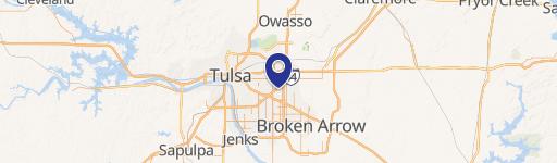
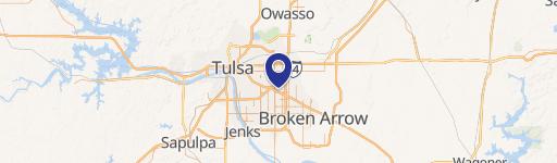
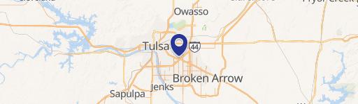
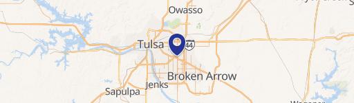
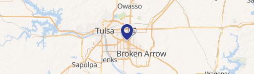
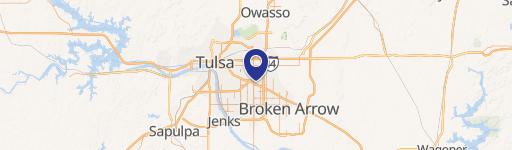
Location Insight
- Map
- Local Demand
- City
- Tulsa
- County
- Tulsa
- State
- Oklahoma
- Longitude
- -95.9052
- Latitude
- 36.077
- CBSA code
- 46140
- CBSA name
- TULSA, OK METROPOLITAN STATISTICAL AREA
Property Tax & Assessments
Tax date
Tax Amount
Assessed Land Value
Assessed Improvement Value
Total Assessed Value
Applied Tax Rate
Land Market Value
Improvement Market Value
Total Market Value
2023
$52,884
$121,000
$272,921
$393,921
-
$1,100,000
$2,481,100
$3,581,100