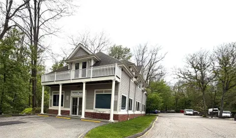
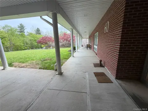
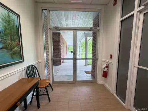
590 Rte 22 North Salem, NY 10560-2715
Property profile & analytics
590 Rte 22, North Salem, NY 10560-2715
- Gas stations
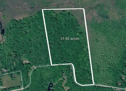
- 0.36 lot acres
Property ID
US63-2934593
The Realmo ID is a unique identifier assigned to every property, incorporating country codes and precise geo-coordinates for 300x300-foot land blocks. It enables standardized data collection and seamless integration of disparate sources such as ownership, tax, title data and physical specifications. By aggregating current and historical records, the Realmo ID powers advanced analytics and delivers deep, verifiable insights for real estate professionals.
Location Intelligence
Current Use by Public Records
- Gas stations
Property Details for 590 Rte 22
- Lot size
- 0.36 lot acres
- Property type
- Gas stations
- APN
- 554000 10.-1711-2
- APU
- 5540001017112
Sales History
| Date | Price | Buyer | Seller | Deed Type | Mortgage |
|---|---|---|---|---|---|
| Nov 16, 2021 | $1,900,218 | Mk Westchester LLC | Ny Dealer Station LLC | Assignment Of Deed | — |
| Jul 22, 2013 | — | Marjam Properties LLC | Collier,maryann | Grant Deed | — |
| Oct 27, 2010 | $555,259 | Ny Dealer Stations LLC | Motiva Ents LLC | Grant Deed | $6.3M · Manufacturers & Traders Tr |
Value Estimations
based on Realmo’s proprietary methodology
-
AI approach
- Method
- Estimation
- Statistic approach
- $2,185,000
- ML approach
- $2,300,000
Get a detailed, property-specific estimation — fast and free
Location Insight
- Map
- Local Demand
- City
- North Salem
- County
- Westchester
- State
- New York
- Longitude
- -73.6573
- Latitude
- 41.343
- CBSA code
- 35620
- CBSA name
- NEW YORK-NORTHERN NEW JERSEY-LONG ISLAND, NY-NJ-PA METROPOLITAN STATISTICAL AREA
Property Tax & Assessments
Tax date
Tax Amount
Assessed Land Value
Assessed Improvement Value
Total Assessed Value
Applied Tax Rate
Land Market Value
Improvement Market Value
Total Market Value
2020
$0.00
$466,200
$311,700
$777,900
-
$466,200
$311,700
$777,900