5690 Harris Rd Grant Township, MI 48032-1811
Property profile & analytics
5690 Harris Rd, Grant Township, MI 48032-1811
- Commercial real estate
- 184 SF
- 40.00 lot acres
Property ID
US43-0883698
The Realmo ID is a unique identifier assigned to every property, incorporating country codes and precise geo-coordinates for 300x300-foot land blocks. It enables standardized data collection and seamless integration of disparate sources such as ownership, tax, title data and physical specifications. By aggregating current and historical records, the Realmo ID powers advanced analytics and delivers deep, verifiable insights for real estate professionals.
Location Intelligence
Current Use by Public Records
- Sunrise Mobile Home Park / Campground & RV Park
Property Details for 5690 Harris Rd
- Lot size
- 40.00 lot acres
- Zone code
- RESIDEN
- Property type
- Commercial real estate
- APN
- 74-21-010-3001-000
- APU
- 74210103001000
Sales History
| Date | Price | Buyer | Seller | Deed Type | Mortgage |
|---|---|---|---|---|---|
| Nov 2, 2023 | — | Stacie Solis Campbell | Sunrise Community LLC | Quit Claim Deed · related | — |
| Apr 21, 2006 | — | Virginia Campbell | Sheldon L E Living Trust | Quit Claim Deed · related | $316k · Eastern Michigan Bank |
| — | — | Sunrise Community LLC | — | Deed Of Trust · related | $249k · Eastern Michigan Bank |
Value Estimations
based on Realmo’s proprietary methodology
-
AI approach
-
CAP approach
-
Comparable approach
-
Alternative Use
Get a detailed, property-specific estimation — fast and free
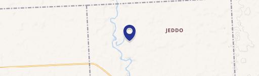
Location Insight
- Map
- Local Demand
- City
- Grant Township
- County
- St. Clair
- State
- Michigan
- Longitude
- -82.569
- Latitude
- 43.1416
- CBSA code
- 19820
- CBSA name
- DETROIT-WARREN-LIVONIA, MI METROPOLITAN STATISTICAL AREA
Property Tax & Assessments
Tax date
Tax Amount
Assessed Land Value
Assessed Improvement Value
Total Assessed Value
Applied Tax Rate
Land Market Value
Improvement Market Value
Total Market Value
2022
$9,523
$0.00
$0.00
$218,800
-
$0.00
$0.00
$437,600