55520 Currant Rd Mishawaka, IN 46545-4740
Property profile & analytics
55520 Currant Rd, Mishawaka, IN 46545-4740
- Manufacturing properties
- 8,000 SF
- 16.52 lot acres
Property ID
US31-3032584
The Realmo ID is a unique identifier assigned to every property, incorporating country codes and precise geo-coordinates for 300x300-foot land blocks. It enables standardized data collection and seamless integration of disparate sources such as ownership, tax, title data and physical specifications. By aggregating current and historical records, the Realmo ID powers advanced analytics and delivers deep, verifiable insights for real estate professionals.
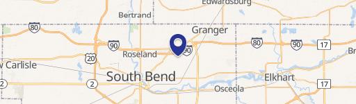
Location Intelligence
Current Use by Public Records
- Manufacturing properties
Property Details for 55520 Currant Rd
- Year built
- 1952
- Construction
- TYPE NOT SPECIFIED
- Lot size
- 16.52 lot acres
- Property type
- Manufacturing properties
- APN
- 71-09-01-401-003.000-031
- APU
- 710901401003000031
Sales History
| Date | Price | Buyer | Seller | Deed Type | Mortgage |
|---|---|---|---|---|---|
| Aug 21, 2020 | $400,000 | Currant Road Development LLC | Bimi LLC | Quit Claim Deed · related | — |
| Jan 13, 2012 | — | Bimi LLC | Lisa Sult | Warranty Deed | — |
| Jan 13, 2012 | $25,000 | Uniroyal Plastics Co INC | St Joseph County Auditor | Sheriffs Deed · related | — |
Value Estimations
based on Realmo’s proprietary methodology
-
AI approach
-
CAP approach
-
Comparable approach
-
Alternative Use
Get a detailed, property-specific estimation — fast and free
Location Insight
- Map
- Local Demand
- City
- Mishawaka
- County
- St. Joseph
- State
- Indiana
- Longitude
- -86.1259
- Latitude
- 41.6871
- CBSA code
- 43780
- CBSA name
- SOUTH BEND-MISHAWAKA, IN-MI METROPOLITAN STATISTICAL AREA
Property Tax & Assessments
Tax date
Tax Amount
Assessed Land Value
Assessed Improvement Value
Total Assessed Value
Applied Tax Rate
Land Market Value
Improvement Market Value
Total Market Value
2023
$8,428
$300,800
$163,200
$464,000
-
$300,800
$163,200
$464,000