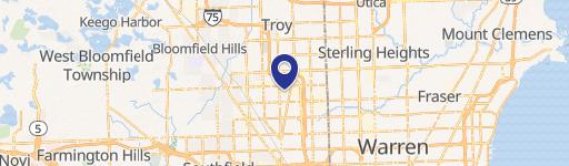
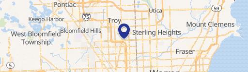
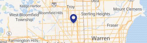
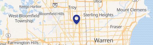
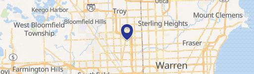
553 Robbins Dr Troy, MI 48083-4515
Property profile & analytics
553 Robbins Dr Troy, MI 48083-4515
- Industrial properties
- 9,596 SF
- 1.02 lot acres
Property ID
US43-1172899
The Realmo ID is a unique identifier assigned to every property, incorporating country codes and precise geo-coordinates for 300x300-foot land blocks. It enables standardized data collection and seamless integration of disparate sources such as ownership, tax, title data and physical specifications. By aggregating current and historical records, the Realmo ID powers advanced analytics and delivers deep, verifiable insights for real estate professionals.
Location Intelligence
Current Use by Public Records
- Caro Carbide Corporation / Industrial Manufacturer / Production Facility
Property Details for 553 Robbins Dr
- Year built
- 1974
- Lot size
- 1.02 lot acres
- Property size
- 9,596 SF
- Zone code
- M-1
- Property type
- Industrial properties
- APN
- 88-20-36-302-015
- APU
- 882036302015
Value Estimations
based on Realmo’s proprietary methodology
-
Comparable approach
- Method
- Estimation
- Statistic Estimate
- $990,000
- AI Estimate
- $990,000
Market price range: $628k - $1.09MMarket price range: $628k - $1.09M -
Alternative Use
- Use
- Estimation
- INDUSTRIAL (GENERAL)
- $865,000 Current use
- RETAIL STORES
- $1,620,000 Change: +87% Conversion: Moderate
- MEDICAL BUILDING
- $1,515,000 Change: +75% Conversion: Difficult
- AUTO REPAIR, GARAGE
- $1,175,000 Change: +36% Conversion: Easy
- OFFICE BUILDING
- $1,125,000 Change: +30% Conversion: Difficult
- NEIGHBORHOOD: SHOPPING CENTER
- $895,000 Change: +3% Conversion: Difficult
Get a detailed, property-specific estimation — fast and free
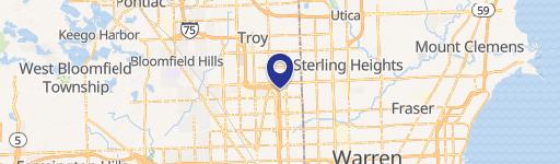
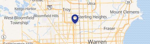
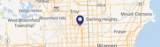
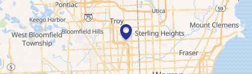
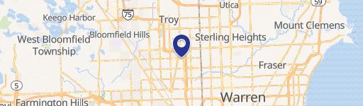
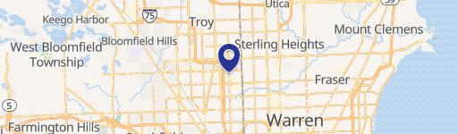
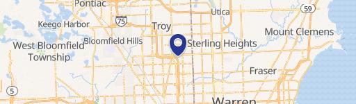
Location Insight
- Map
- Local Demand
- City
- Troy
- County
- Oakland
- State
- Michigan
- Longitude
- -83.1028
- Latitude
- 42.54
- CBSA code
- 19820
- CBSA name
- DETROIT-WARREN-LIVONIA, MI METROPOLITAN STATISTICAL AREA
Property Tax & Assessments
Tax date
Tax Amount
Assessed Land Value
Assessed Improvement Value
Total Assessed Value
Applied Tax Rate
Land Market Value
Improvement Market Value
Total Market Value
2022
$8,739
$0.00
$0.00
$360,620
-
$0.00
$0.00
$721,240