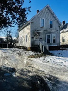
546 Rte 12 Surry, NH 03431-8013
Property profile & analytics
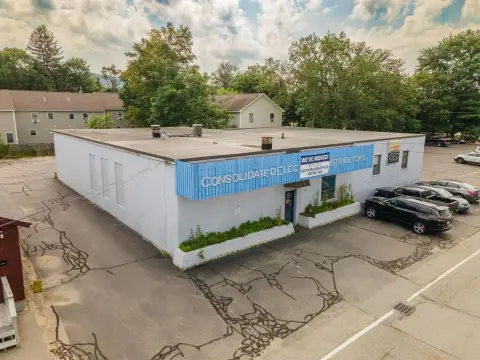
546 Rte 12, Surry, NH 03431-8013
- Industrial properties
- 1,238 SF
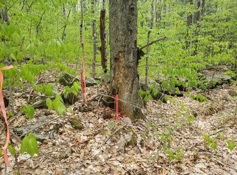
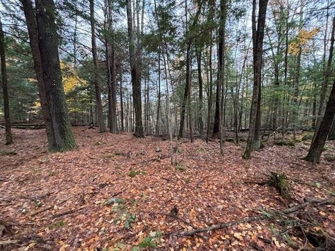
- 9.80 lot acres
Property ID
US58-0271364
The Realmo ID is a unique identifier assigned to every property, incorporating country codes and precise geo-coordinates for 300x300-foot land blocks. It enables standardized data collection and seamless integration of disparate sources such as ownership, tax, title data and physical specifications. By aggregating current and historical records, the Realmo ID powers advanced analytics and delivers deep, verifiable insights for real estate professionals.
Location Intelligence
Current Use by Public Records
- Industrial properties
Property Details for 546 Rte 12
- Year built
- 1962
- Lot size
- 9.80 lot acres
- Zone code
- COMM/I
- Property type
- Industrial properties
- Property subtype
- Industrial live-work properties
- APN
- SURR M:0005A B:000106 L:000000
- APU
- SURRM0005AB000106L000000
Sales History
| Date | Price | Buyer | Seller | Deed Type | Mortgage |
|---|---|---|---|---|---|
| Sep 5, 2014 | $150,000 | Dionne Street LLC | Surry Mountain Props | Warranty Deed | — |
| Mar 9, 2006 | — | Gail A Morton | — | Deed Of Trust · related | $114k · Advanced Financial Services |
Value Estimations
based on Realmo’s proprietary methodology
-
AI approach
-
CAP approach
-
Comparable approach
-
Alternative Use
Get a detailed, property-specific estimation — fast and free
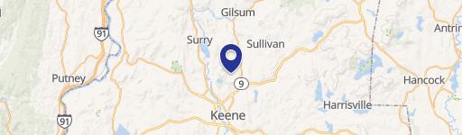
Location Insight
- Map
- Local Demand
- City
- Surry
- County
- Cheshire
- State
- New Hampshire
- Longitude
- -72.3508
- Latitude
- 42.9797
- CBSA code
- 28300
- CBSA name
- KEENE, NH MICROPOLITAN STATISTICAL AREA
Property Tax & Assessments
Tax date
Tax Amount
Assessed Land Value
Assessed Improvement Value
Total Assessed Value
Applied Tax Rate
Land Market Value
Improvement Market Value
Total Market Value
2023
$2,449
$152,900
$0.00
$152,900
-
$0.00
$0.00
$0.00