51337 Hwy 60 Aguila, AZ 85320-0199
Property profile & analytics
51337 Hwy 60, Aguila, AZ 85320-0199
- Commercial real estate
- 0.17 lot acres
Property ID
US07-1356829
The Realmo ID is a unique identifier assigned to every property, incorporating country codes and precise geo-coordinates for 300x300-foot land blocks. It enables standardized data collection and seamless integration of disparate sources such as ownership, tax, title data and physical specifications. By aggregating current and historical records, the Realmo ID powers advanced analytics and delivers deep, verifiable insights for real estate professionals.
Location Intelligence
Current Use by Public Records
- Commercial real estate
Property Details for 51337 Hwy 60
- Year built
- 1976
- Construction
- STEEL FRAME
- Lot size
- 0.17 lot acres
- Zone code
- R-5
- Property type
- Commercial real estate
- APN
- 506-47-093
- APU
- 50647093
Sales History
| Date | Price | Buyer | Seller | Deed Type | Mortgage |
|---|---|---|---|---|---|
| Nov 28, 2006 | $500,000 | Rivas Jesus A Living Trust | Probst Laurence R Trust | Warranty Deed | $50k · Probst Laurence R Trust (tr) |
| Mar 31, 1993 | — | Laurence,r Probst Trust | Probst | Quit Claim Deed · related | — |
| Oct 7, 1987 | — | Laurence Probst | — | Deed Of Trust · related | — |
Value Estimations
based on Realmo’s proprietary methodology
-
AI approach
-
CAP approach
-
Comparable approach
-
Alternative Use
Get a detailed, property-specific estimation — fast and free
Location Insight
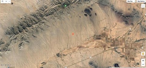
- Map
- Local Demand
- City
- Aguila
- County
- Maricopa
- State
- Arizona
- Longitude
- -113.174
- Latitude
- 33.9423
- CBSA code
- 38060
- CBSA name
- PHOENIX-MESA-SCOTTSDALE, AZ METROPOLITAN STATISTICAL AREA
Property Tax & Assessments
Tax date
Tax Amount
Assessed Land Value
Assessed Improvement Value
Total Assessed Value
Applied Tax Rate
Land Market Value
Improvement Market Value
Total Market Value
2022
$64
$0.00
$0.00
$700
-
$4,400
$2,600
$7,000