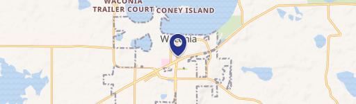
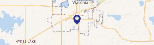
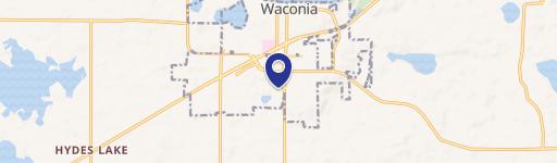
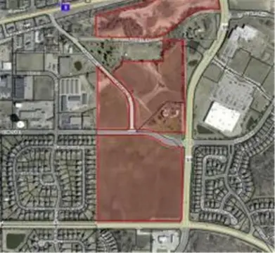
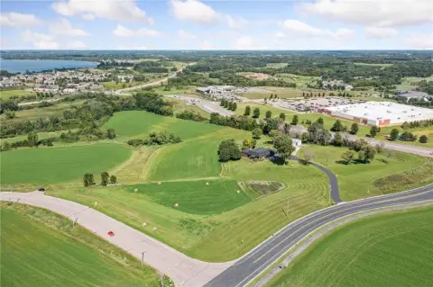
502 Cherry Dr Waconia, MN 55387-4578
Property profile & analytics
502 Cherry Dr, Waconia, MN 55387-4578
- Commercial real estate
- 1.97 lot acres
Property ID
US46-1930264
The Realmo ID is a unique identifier assigned to every property, incorporating country codes and precise geo-coordinates for 300x300-foot land blocks. It enables standardized data collection and seamless integration of disparate sources such as ownership, tax, title data and physical specifications. By aggregating current and historical records, the Realmo ID powers advanced analytics and delivers deep, verifiable insights for real estate professionals.
Location Intelligence
Current Use by Public Records
- Commercial real estate
Property Details for 502 Cherry Dr
- Lot size
- 1.97 lot acres
- Property type
- Commercial real estate
- APN
- 75-1190011
- APU
- 751190011
Sales History
| Date | Price | Buyer | Seller | Deed Type | Mortgage |
|---|---|---|---|---|---|
| Jan 7, 2019 | $1,590,000 | Southpoint Finl Cu | Waconia Mill Tv LLC | Warranty Deed · related | — |
| Sep 13, 2016 | — | Waconia Mill IV LLC | — | Deed · related | $1.5M · Security Bk |
| — | — | Waconia Mill IV LLC | — | Loan Modification · related | $1.5M · Security Bk |
| — | — | Waconia Mill IV LLC | — | Loan Modification · related | $1.5M · Security Bk |
Value Estimations
based on Realmo’s proprietary methodology
-
AI approach
-
CAP approach
-
Comparable approach
-
Alternative Use
Get a detailed, property-specific estimation — fast and free
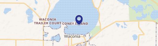
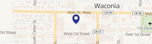
Location Insight
- Map
- Local Demand
- City
- Waconia
- County
- Carver
- State
- Minnesota
- Longitude
- -93.796
- Latitude
- 44.8407
- CBSA code
- 33460
- CBSA name
- MINNEAPOLIS-ST. PAUL-BLOOMINGTON, MN-WI METROPOLITAN STATISTICAL AREA
Property Tax & Assessments
Tax date
Tax Amount
Assessed Land Value
Assessed Improvement Value
Total Assessed Value
Applied Tax Rate
Land Market Value
Improvement Market Value
Total Market Value
2024
$66,504
$1,078,000
$1,327,600
$2,405,600
-
$1,078,000
$1,327,600
$2,405,600