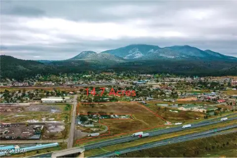
4919 Us Hwy 180 Williams, AZ 86046
Property profile & analytics
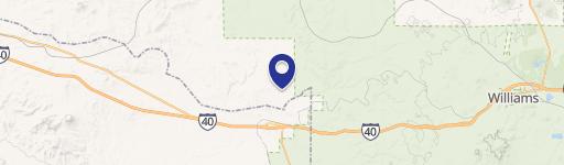
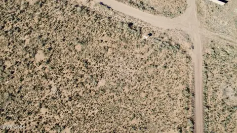
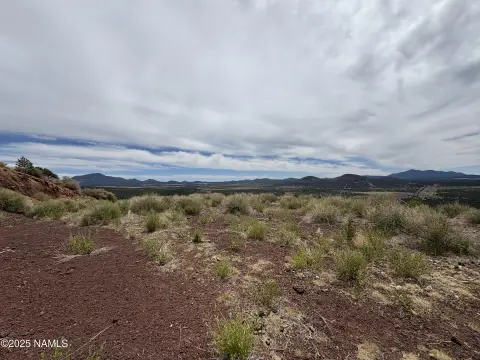
4919 Us Hwy 180, Williams, AZ 86046
- Commercial land
- 1.24 lot acres
Property ID
US07-1747843
The Realmo ID is a unique identifier assigned to every property, incorporating country codes and precise geo-coordinates for 300x300-foot land blocks. It enables standardized data collection and seamless integration of disparate sources such as ownership, tax, title data and physical specifications. By aggregating current and historical records, the Realmo ID powers advanced analytics and delivers deep, verifiable insights for real estate professionals.
Location Intelligence
Current Use by Public Records
- Commercial land
Property Details for 4919 Us Hwy 180
- Lot size
- 1.24 lot acres
- Property type
- Commercial land
- APN
- 501-11-114
- APU
- 50111114
Sales History
| Date | Price | Buyer | Seller | Deed Type | Mortgage |
|---|---|---|---|---|---|
| Nov 8, 2021 | — | Randle Kennedy | Randle Kennedy | Intrafamily Transfer · related | — |
| Aug 29, 2016 | — | Randle Kennedy | Treasurer Of Coconino County | Grant Deed · related | — |
| Mar 9, 2007 | $9,950 | Leszek Wojtasik | Hicks,mark A | Grant Deed | — |
| Sep 5, 2006 | — | American Real Estate Invs LLC | Hicks,mark A & Dawn | Warranty Deed | — |
| Mar 29, 2006 | — | Mark A Hicks | Kuhn,arthur J | Quit Claim Deed · related | — |
Value Estimations
based on Realmo’s proprietary methodology
-
AI approach
-
CAP approach
-
Comparable approach
-
Alternative Use
Get a detailed, property-specific estimation — fast and free
Location Insight
- Map
- Local Demand
- City
- Williams
- County
- Coconino
- State
- Arizona
- Longitude
- -112.074
- Latitude
- 35.6138
- CBSA code
- 22380
- CBSA name
- FLAGSTAFF, AZ METROPOLITAN STATISTICAL AREA
Property Tax & Assessments
Tax date
Tax Amount
Assessed Land Value
Assessed Improvement Value
Total Assessed Value
Applied Tax Rate
Land Market Value
Improvement Market Value
Total Market Value
2023
$18
$387
$0.00
$387
-
$2,579
$0.00
$2,579