4210 Mh 379 Mineral Wells, TX 76067-9032
Property profile & analytics
4210 Mh 379 Mineral Wells, TX 76067-9032
- Commercial real estate
- 9.36 lot acres
Property ID
US82-5929488
The Realmo ID is a unique identifier assigned to every property, incorporating country codes and precise geo-coordinates for 300x300-foot land blocks. It enables standardized data collection and seamless integration of disparate sources such as ownership, tax, title data and physical specifications. By aggregating current and historical records, the Realmo ID powers advanced analytics and delivers deep, verifiable insights for real estate professionals.
Location Intelligence
Current Use by Public Records
- Commercial real estate
Property Details for 4210 Mh 379
- Lot size
- 9.36 lot acres
- Property type
- Commercial real estate
- APN
- 42760000
- APU
- 42760000
Description
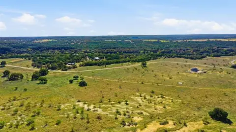
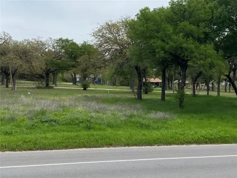
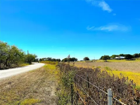
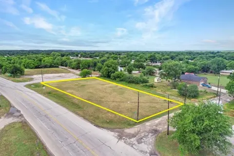
This exceptional 9.36-acre commercial property in Mineral Wells, Texas, presents a unique development opportunity. Located at 4210 MH 379, Palo Pinto County, zip code 76067 (APN 05334), this level parcel boasts a prime location near the airport and a thriving commercial corridor. Currently zoned for manufactured housing (MH), the land previously served as a mobile home park, offering existing infrastructure potential. City services are readily available; however, sewer connection may necessitate a lift station. The asking price for this expansive tract is $279,000. Its flat topography makes it ideal for various commercial ventures, providing significant potential for investors seeking a strategic location with established access to key amenities and transportation links. The property's proximity to the airport and commercial areas ensures high visibility and accessibility, making it an attractive proposition for developers and businesses alike. This is a rare opportunity to acquire a substantial piece of land in a growing Texas market. Coordinates: 32.751648, -98.124196.
Value Estimations
based on Realmo’s proprietary methodology
-
AI approach
-
CAP approach
-
Comparable approach
-
Alternative Use
Get a detailed, property-specific estimation — fast and free
Location Insight
- Map
- Local Demand
- City
- Mineral Wells
- County
- Palo Pinto
- State
- Texas
- Longitude
- -98.0694
- Latitude
- 32.7869
- CBSA code
- 33420
- CBSA name
- MINERAL WELLS, TX MICROPOLITAN STATISTICAL AREA
Property Tax & Assessments
Tax date
Tax Amount
Assessed Land Value
Assessed Improvement Value
Total Assessed Value
Applied Tax Rate
Land Market Value
Improvement Market Value
Total Market Value
2023
$4,571
$201,240
$0.00
$201,240
-
$201,240
$0.00
$201,240