4053 State Hwy E Oak Ridge, MO 63769
Property profile & analytics
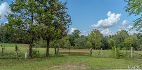
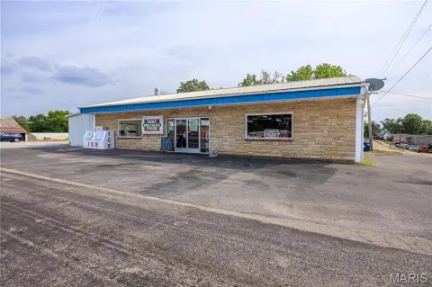
4053 State Hwy E, Oak Ridge, MO 63769
- Commercial land
- 0.20 lot acres

Property ID
US48-1227092
The Realmo ID is a unique identifier assigned to every property, incorporating country codes and precise geo-coordinates for 300x300-foot land blocks. It enables standardized data collection and seamless integration of disparate sources such as ownership, tax, title data and physical specifications. By aggregating current and historical records, the Realmo ID powers advanced analytics and delivers deep, verifiable insights for real estate professionals.
Location Intelligence
Current Use by Public Records
- Commercial land
Property Details for 4053 State Hwy E
- Lot size
- 0.20 lot acres
- Property type
- Commercial land
- APN
- 58130004010000000
- APU
- 58130004010000000
Sales History
| Date | Price | Buyer | Seller | Deed Type | Mortgage |
|---|---|---|---|---|---|
| Nov 1, 2024 | — | Farmers Market Real Estate Oak Ridg | Farmers Corner Cafe LLC | Warranty Deed | — |
| Mar 17, 2021 | — | Farmers Corner Caf+ LLC | — | Deed · related | $40k · Banterra Bank |
| Oct 20, 2020 | — | Farmers Corner Cafe LLC | Cwr Investments Lc | Warranty Deed · related | — |
| Mar 5, 2018 | — | Cwr Investments | Legrand,keith G & Julie K | Warranty Deed · related | — |
| Dec 30, 2013 | — | Midweste Bk First | Hinkebein,vaughn R & Marsha K | Deed In Lieu Of Foreclosure | — |
| Mar 9, 2006 | — | Vaughn R Hinkebein | Curry,gail W & Arlene F | Warranty Deed | $125k · First Midwest Bank |
| — | — | Legrand,keith G & Julie K | — | Deed Of Trust · related | $80k · Peoples Bk/altenburg |
Value Estimations
based on Realmo’s proprietary methodology
-
AI approach
-
CAP approach
-
Comparable approach
-
Alternative Use
Get a detailed, property-specific estimation — fast and free
Location Insight
- Map
- Local Demand
- City
- Oak Ridge
- County
- Cape Girardeau
- State
- Missouri
- Longitude
- -89.7297
- Latitude
- 37.5012
- CBSA code
- 16020
- CBSA name
- CAPE GIRARDEAU-JACKSON, MO-IL MICROPOLITAN STATISTICAL AREA
Property Tax & Assessments
Tax date
Tax Amount
Assessed Land Value
Assessed Improvement Value
Total Assessed Value
Applied Tax Rate
Land Market Value
Improvement Market Value
Total Market Value
2023
$1,510
$6,460
$19,580
$26,040
-
$20,181
$61,194
$81,375