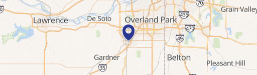
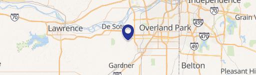
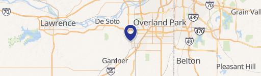
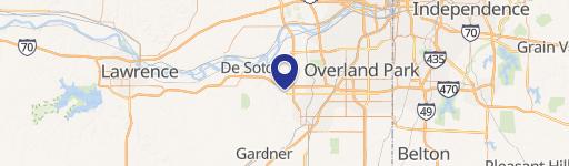
400 Harold St Olathe, KS 66061-2467
Property profile & analytics
400 Harold St Olathe, KS 66061-2467
- Research & development properties
- 14,693 SF
- 10.62 lot acres
Property ID
US33-0995952
The Realmo ID is a unique identifier assigned to every property, incorporating country codes and precise geo-coordinates for 300x300-foot land blocks. It enables standardized data collection and seamless integration of disparate sources such as ownership, tax, title data and physical specifications. By aggregating current and historical records, the Realmo ID powers advanced analytics and delivers deep, verifiable insights for real estate professionals.
Location Intelligence
Current Use by Public Records
- City Street Maintenance / City Government Office
- Everyday Icons by Andy Kincaid / Sculpture
Property Details for 400 Harold St
- Year built
- 1971
- Construction
- CONCRETE BLOCKS
- Lot size
- 10.62 lot acres
- Property size
- 14,693 SF
- Property type
- Research & development properties
- APN
- DP60150000 0001
- APU
- DP601500000001
Value Estimations
based on Realmo’s proprietary methodology
-
AI approach
-
CAP approach
-
Comparable approach
-
Alternative Use
Get a detailed, property-specific estimation — fast and free
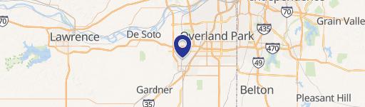
Location Insight
- Map
- Local Demand
- City
- Olathe
- County
- Johnson
- State
- Kansas
- Longitude
- -94.8169
- Latitude
- 38.8996
- CBSA code
- 28140
- CBSA name
- KANSAS CITY, MO-KS METROPOLITAN STATISTICAL AREA
Property Tax & Assessments
Tax date
Tax Amount
Assessed Land Value
Assessed Improvement Value
Total Assessed Value
Applied Tax Rate
Land Market Value
Improvement Market Value
Total Market Value
2023
$0.00
$0.00
$0.00
$0.00
-
$462,710
$1,969,750
$2,432,460