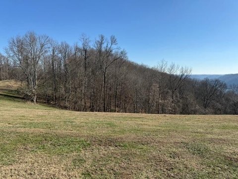
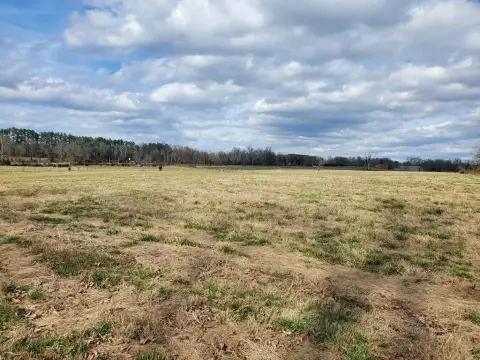
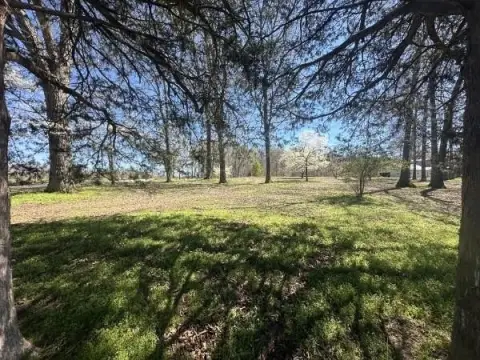
395 Anderson Rdg Rd Silver Point, TN 38582-7940
Property profile & analytics
395 Anderson Rdg Rd, Silver Point, TN 38582-7940
- Commercial real estate
- 4,200 SF
- 2.00 lot acres
Property ID
US80-0669722
The Realmo ID is a unique identifier assigned to every property, incorporating country codes and precise geo-coordinates for 300x300-foot land blocks. It enables standardized data collection and seamless integration of disparate sources such as ownership, tax, title data and physical specifications. By aggregating current and historical records, the Realmo ID powers advanced analytics and delivers deep, verifiable insights for real estate professionals.
Location Intelligence
Current Use by Public Records
- Maynard Cemetery / Cemetery
- Anderson Ridge Camp / Campground & RV Park
Property Details for 395 Anderson Rdg Rd
- Year built
- 2021
- Lot size
- 2.00 lot acres
- Property type
- Commercial real estate
- APN
- 021016 01801 001
- APU
- 2101601801001
Sales History
| Date | Price | Buyer | Seller | Deed Type | Mortgage |
|---|---|---|---|---|---|
| Aug 29, 2019 | $44,000 | Paul M Leimbach | Hedgecoth,john Paul D | Warranty Deed | — |
Value Estimations
based on Realmo’s proprietary methodology
-
AI approach
-
CAP approach
-
Comparable approach
-
Alternative Use
Get a detailed, property-specific estimation — fast and free
Location Insight
- Map
- Local Demand
- City
- Silver Point
- County
- Dekalb
- State
- Tennessee
- Longitude
- -85.7207
- Latitude
- 36.0697
Property Tax & Assessments
Tax date
Tax Amount
Assessed Land Value
Assessed Improvement Value
Total Assessed Value
Applied Tax Rate
Land Market Value
Improvement Market Value
Total Market Value
0
$0.00
$5,600
$8,040
$13,640
-
$14,000
$20,100
$34,100