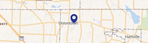
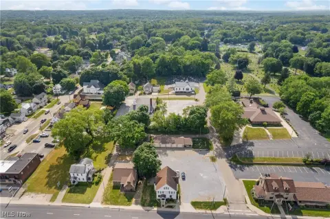
3700 Massillon Rd Uniontown, OH 44685
Property profile & analytics
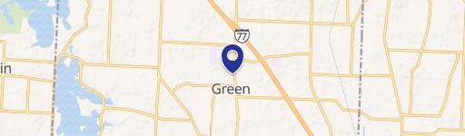
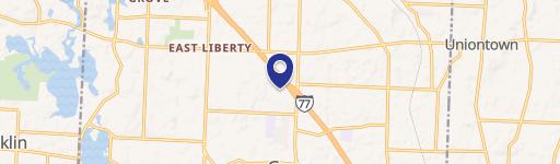
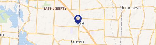
3700 Massillon Rd, Uniontown, OH 44685
- Parking lots & garages
- 888 SF
- 2.39 lot acres
Property ID
US66-0857848
The Realmo ID is a unique identifier assigned to every property, incorporating country codes and precise geo-coordinates for 300x300-foot land blocks. It enables standardized data collection and seamless integration of disparate sources such as ownership, tax, title data and physical specifications. By aggregating current and historical records, the Realmo ID powers advanced analytics and delivers deep, verifiable insights for real estate professionals.
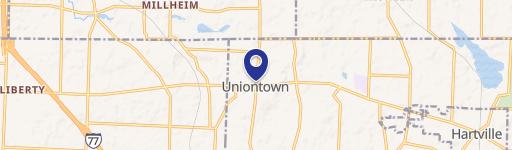
Location Intelligence
Current Use by Public Records
- ChargePoint Charging Station / Electric Vehicle Charging Station
- FedEx Drop Box / Postal Service / Courier Service
- Green Family Dentistry / Dental Office
- KeyBank / Bank / Loan Service
- ATM (Key Bank) / Atm
Property Details for 3700 Massillon Rd
- Year built
- 1957
- Lot size
- 2.39 lot acres
- Property type
- Parking lots & garages
- APN
- 28-00891
- APU
- 2800891
Sales History
| Date | Price | Buyer | Seller | Deed Type | Mortgage |
|---|---|---|---|---|---|
| Mar 21, 2018 | — | A & M Green Properties LLC | — | Grant Deed · related | $1.5M · First Nat'l Bk/pa |
| May 31, 2006 | — | A & M Green Properties LLC | A & M Associates | Quit Claim Deed · related | — |
Value Estimations
based on Realmo’s proprietary methodology
-
AI approach
-
CAP approach
-
Comparable approach
-
Alternative Use
Get a detailed, property-specific estimation — fast and free
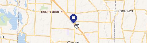
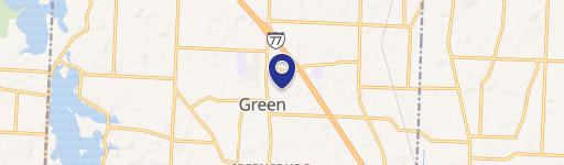
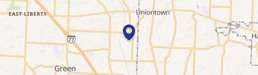
Location Insight
- Map
- Local Demand
- City
- Uniontown
- County
- Summit
- State
- Ohio
- Longitude
- -81.4666
- Latitude
- 40.9604
- CBSA code
- 10420
- CBSA name
- AKRON, OH METROPOLITAN STATISTICAL AREA
Property Tax & Assessments
Tax date
Tax Amount
Assessed Land Value
Assessed Improvement Value
Total Assessed Value
Applied Tax Rate
Land Market Value
Improvement Market Value
Total Market Value
2023
$5,959
$78,220
$25,640
$103,860
-
$223,470
$73,250
$296,720