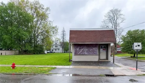
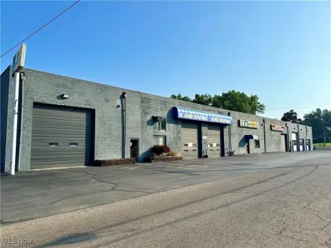
370 Robbins Ave Niles, OH 44446
Property profile & analytics
370 Robbins Ave, Niles, OH 44446
- Gas stations
- 1,247 SF
- 0.34 lot acres
Property ID
US66-1286003
The Realmo ID is a unique identifier assigned to every property, incorporating country codes and precise geo-coordinates for 300x300-foot land blocks. It enables standardized data collection and seamless integration of disparate sources such as ownership, tax, title data and physical specifications. By aggregating current and historical records, the Realmo ID powers advanced analytics and delivers deep, verifiable insights for real estate professionals.
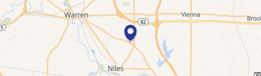
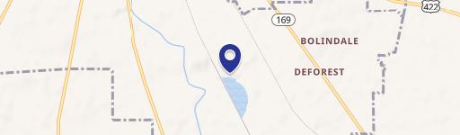
Location Intelligence
Current Use by Public Records
- Gas stations
Property Details for 370 Robbins Ave
- Year built
- 1967
- Lot size
- 0.34 lot acres
- Property type
- Gas stations
- APN
- 25-378000
- APU
- 25378000
Sales History
| Date | Price | Buyer | Seller | Deed Type | Mortgage |
|---|---|---|---|---|---|
| Oct 13, 2023 | $95,000 | Jason Melidona | Chamberlain Lawn Care LLC | Survivorship Deed | — |
| Mar 25, 2022 | $82,500 | Chamberlain Lawn Care LLC | Alice P White | Deed | $66k · Premier Bank |
| Feb 8, 2017 | — | Alice P White | White,donald R | Affidavit Of Death · related | — |
| Oct 28, 2013 | — | Donald R White | White,donald & Alice P | Quit Claim Deed · related | — |
| — | — | Donald R White | — | Deed Of Trust · related | $75k · National City Bank |
Value Estimations
based on Realmo’s proprietary methodology
-
AI approach
-
CAP approach
-
Comparable approach
-
Alternative Use
Get a detailed, property-specific estimation — fast and free
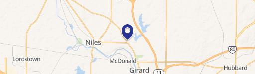
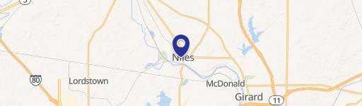
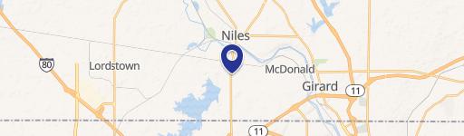
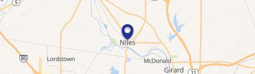
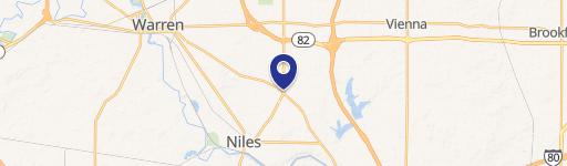
Location Insight
- Map
- Local Demand
- City
- Niles
- County
- Trumbull
- State
- Ohio
- Longitude
- -80.7569
- Latitude
- 41.1829
- CBSA code
- 49660
- CBSA name
- YOUNGSTOWN-WARREN-BOARDMAN, OH-PA METROPOLITAN STATISTICAL AREA
Property Tax & Assessments
Tax date
Tax Amount
Assessed Land Value
Assessed Improvement Value
Total Assessed Value
Applied Tax Rate
Land Market Value
Improvement Market Value
Total Market Value
2023
$1,459
$15,720
$11,590
$27,310
-
$44,900
$33,100
$78,000