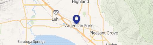
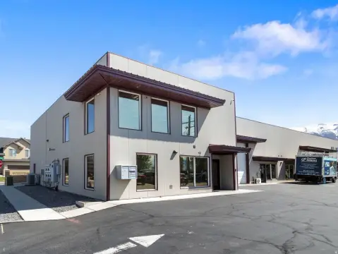
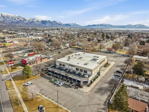
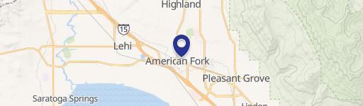
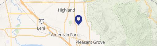
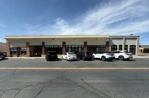
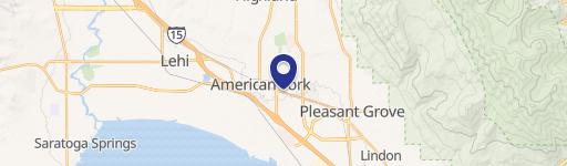
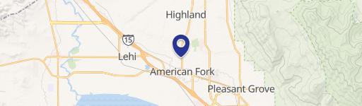
37 Frontage Rd American Fork, UT 84003
Property profile & analytics
37 Frontage Rd, American Fork, UT 84003
- Distribution properties
- 1,096 SF
- 2.01 lot acres
Property ID
US86-0668124
The Realmo ID is a unique identifier assigned to every property, incorporating country codes and precise geo-coordinates for 300x300-foot land blocks. It enables standardized data collection and seamless integration of disparate sources such as ownership, tax, title data and physical specifications. By aggregating current and historical records, the Realmo ID powers advanced analytics and delivers deep, verifiable insights for real estate professionals.
Location Intelligence
Current Use by Public Records
- Distribution properties
Property Details for 37 Frontage Rd
- Year built
- 1992
- Lot size
- 2.01 lot acres
- Property type
- Distribution properties
- APN
- 13-050-0101
- APU
- 130500101
Sales History
| Date | Price | Buyer | Seller | Deed Type | Mortgage |
|---|---|---|---|---|---|
| Jun 13, 2018 | — | Deepwater Holdings LLC | Deepwater Holdings Lc | Quit Claim Deed | — |
| Sep 6, 1996 | — | James L Cross | Houghton,paul E & Patricia S | Grant Deed · related | — |
| — | — | Deepwater Holdings LLC | — | Deed Of Trust · related | $150k · Patti Billings |
| — | — | Deepwater Holdings Lc | — | Deed Of Trust · related | $150k · Rodd Steuart |
Value Estimations
based on Realmo’s proprietary methodology
-
AI approach
-
CAP approach
-
Comparable approach
-
Alternative Use
Get a detailed, property-specific estimation — fast and free
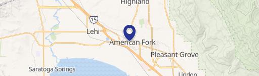
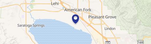
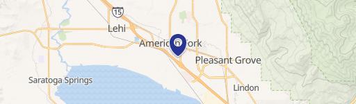
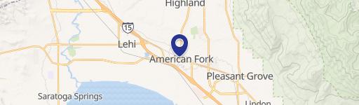
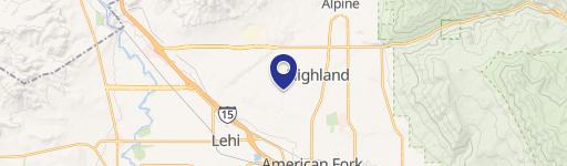
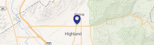
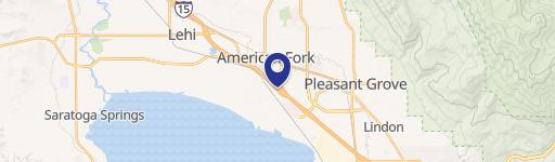
Location Insight
- Map
- Local Demand
- City
- American Fork
- County
- Utah
- State
- Utah
- Longitude
- -111.799
- Latitude
- 40.3684
- CBSA code
- 39340
- CBSA name
- PROVO-OREM, UT METROPOLITAN STATISTICAL AREA
Property Tax & Assessments
Tax date
Tax Amount
Assessed Land Value
Assessed Improvement Value
Total Assessed Value
Applied Tax Rate
Land Market Value
Improvement Market Value
Total Market Value
2023
$8,616
$0.00
$0.00
$1,015,000
-
$986,600
$28,400
$1,015,000